
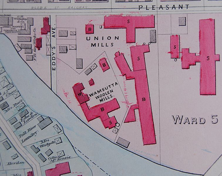
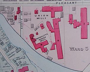
Image: Wamsutta Woolen and Union Mills 1883 map

Size of this preview: 756 × 600 pixels. Other resolutions: 303 × 240 pixels | 2,906 × 2,306 pixels.
Original image (2,906 × 2,306 pixels, file size: 1.55 MB, MIME type: image/jpeg)
Description: 1883 map of Wamsutta Woolen Mill and Union Mills, Fall River, Massachusetts. Long building labeled "B" is Union Mill #3, demolished in 1960s for Interstate 195.
Title: Wamsutta Woolen and Union Mills 1883 map
Credit: Atlas of Fall River, Massachusetts
Author: George H. Walker & Co.
Usage Terms: Public domain
License: Public domain
Attribution Required?: No
Image usage
The following page links to this image:

All content from Kiddle encyclopedia articles (including the article images and facts) can be freely used under Attribution-ShareAlike license, unless stated otherwise.