
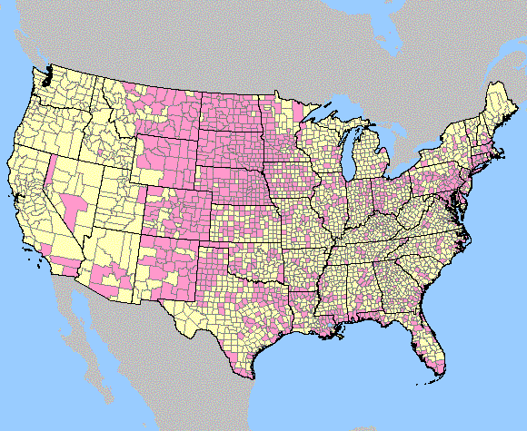
Image: West Nile virus cases in United States map- May 2003
No higher resolution available.
West_Nile_virus_cases_in_United_States_map-_May_2003.gif (580 × 475 pixels, file size: 66 KB, MIME type: image/gif)
Description: Map showing states and counties where testing for West Nile virus was submitted to the CDC and locations of confirmed cases. May 21, 2004
Title: West Nile virus cases in United States map- May 2003
Credit: http://diseasemaps.usgs.gov/2003/images/us_human_map_week53.gif
Author: United States Geological Survey
Usage Terms: Public domain
License: Public domain
Attribution Required?: No
Image usage
The following page links to this image:

All content from Kiddle encyclopedia articles (including the article images and facts) can be freely used under Attribution-ShareAlike license, unless stated otherwise.