
Image: Westbank Control & Access Restrictions Dec 2012
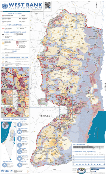
Size of this preview: 367 × 599 pixels. Other resolutions: 147 × 240 pixels | 3,130 × 5,106 pixels.
Original image (3,130 × 5,106 pixels, file size: 6.19 MB, MIME type: image/png)
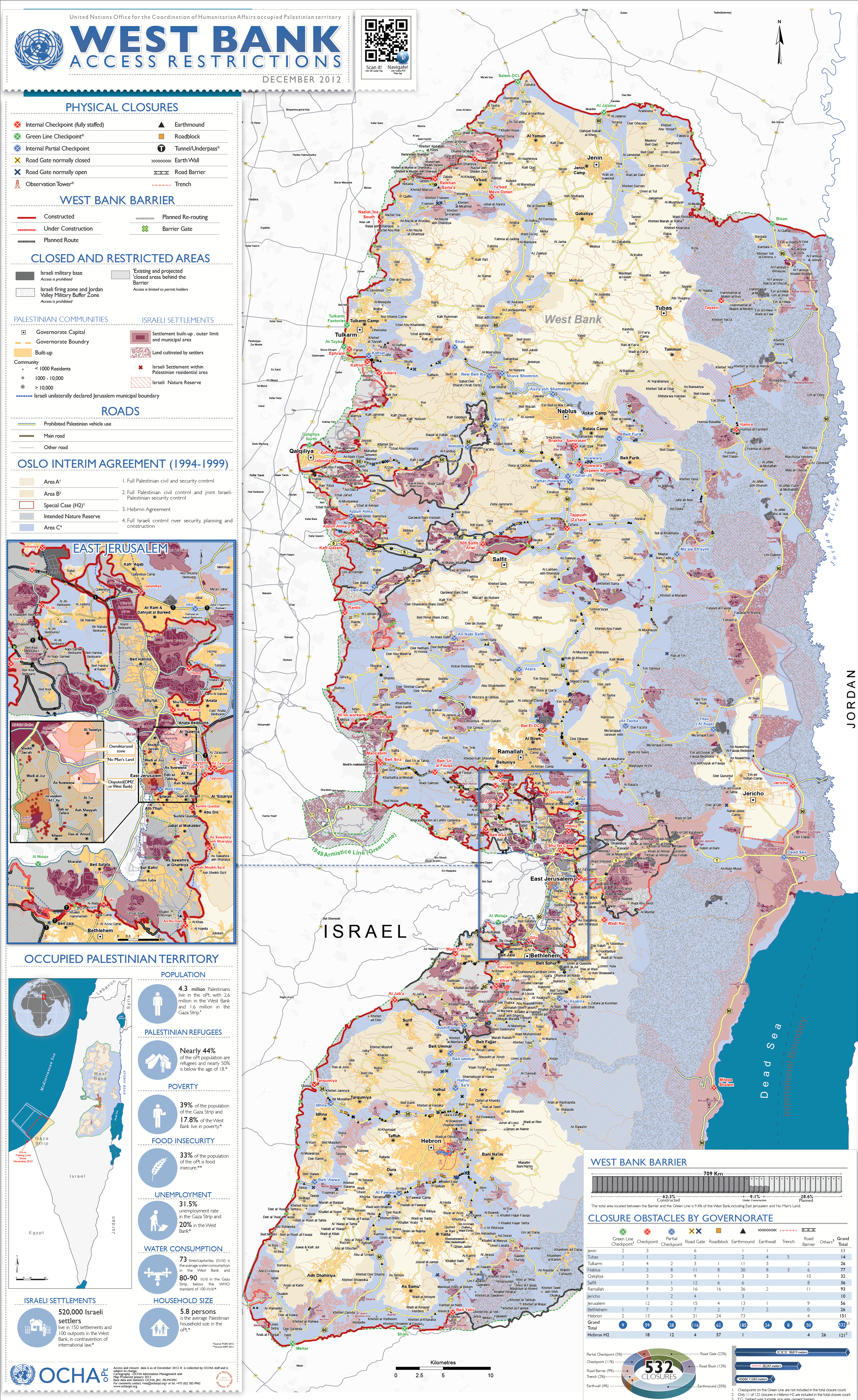
Description: Detailed map of access restrictions in the West Bank. Different shades of brown indicate areas with full Palestinian civil and security control (A) and areas with Palestinian-Israeli joint control (B), while blue are areas under the direct control of the Israeli security (C). Orange shows Arab communities, various shades of red show Israeli settlements. Map includes closed and restricted areas, barriers and road checkpoints.
Usage Terms: Public domain
Image usage
The following page links to this image:

All content from Kiddle encyclopedia articles (including the article images and facts) can be freely used under Attribution-ShareAlike license, unless stated otherwise.