
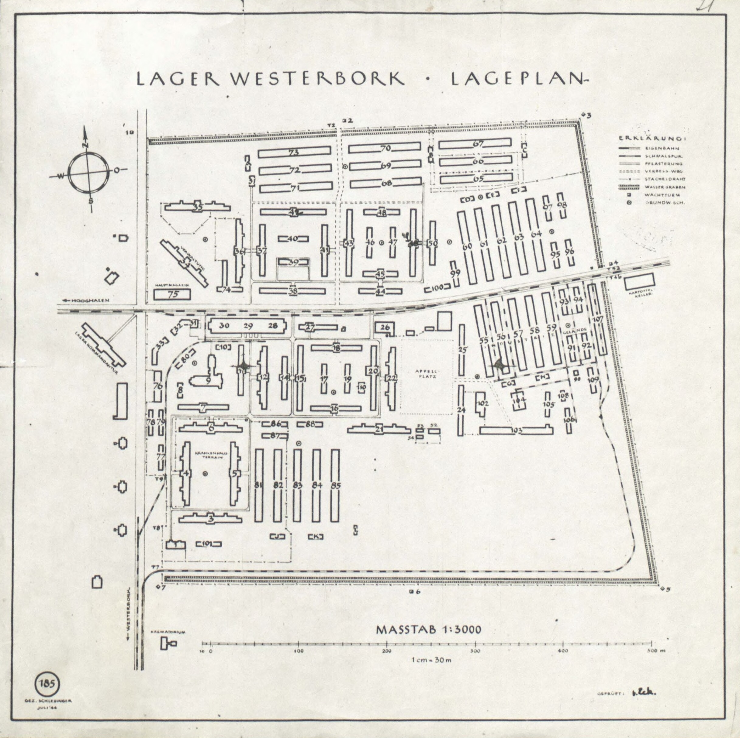
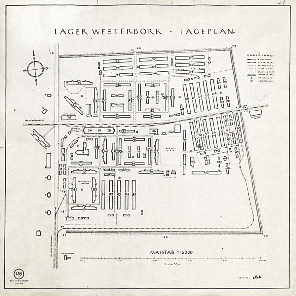
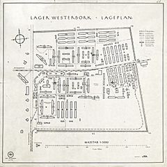
Image: WesterborkLageplan
Size of this preview: 601 × 600 pixels. Other resolutions: 240 × 240 pixels | 2,434 × 2,429 pixels.
Original image (2,434 × 2,429 pixels, file size: 1.09 MB, MIME type: image/jpeg)
Description: Map of concentration camp Westerbork (The Netherlands). Signed left corner: Gez. Schlesinger. Juli '44 (1944)
Title: WesterborkLageplan
Credit: GaHetNa (Nationaal Archief NL)
Author: Unknown authorUnknown author; "gez[eichnet] (signed by) [Stefan] Schlesinger"
Usage Terms: Public domain
License: Public domain
Attribution Required?: No
Image usage
The following 2 pages link to this image:

All content from Kiddle encyclopedia articles (including the article images and facts) can be freely used under Attribution-ShareAlike license, unless stated otherwise.