
Image: Weston Turville Reservoir - geograph.org.uk - 383456
No higher resolution available.
Weston_Turville_Reservoir_-_geograph.org.uk_-_383456.jpg (640 × 480 pixels, file size: 66 KB, MIME type: image/jpeg)
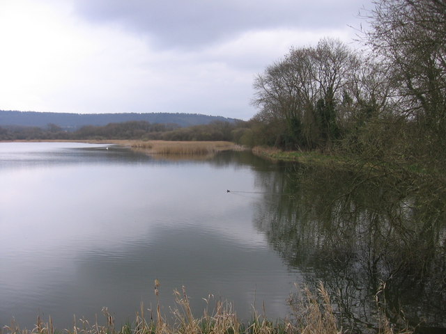
Description: Weston Turville Reservoir Originally constructed to feed the nearby Wendover Arm of the Grand Union Canal. Now managed by British Waterways, it is a Site of Special Scientific Intertest with part of the site managed by the local Wildlife Trust. It is popular for sailing and fishing. The Chiltern Hills can be seen on the horizon.
Title: Weston Turville Reservoir - geograph.org.uk - 383456
Credit: From geograph.org.uk
Author: Jeremy Halls
Usage Terms: Creative Commons Attribution-Share Alike 2.0
License: CC BY-SA 2.0
License Link: https://creativecommons.org/licenses/by-sa/2.0
Attribution Required?: Yes
Image usage
The following page links to this image:

All content from Kiddle encyclopedia articles (including the article images and facts) can be freely used under Attribution-ShareAlike license, unless stated otherwise.