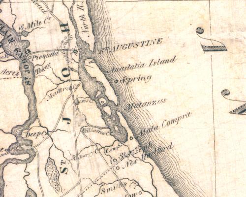
Image: Williams map 1837
Williams_map_1837.jpg (500 × 400 pixels, file size: 45 KB, MIME type: image/jpeg)
Description: Early map of the state of Florida, appeared in The Territory of Florida or Sketches of the Topography, Civil and Natural History, of the Country, the Climate, and the Indian Tribes, from the First Discovery to the Present Time by John Lee Williams. Lithographed by Greene and McGowran, New York, 1837.
Title: Williams map 1837
Credit: State Archives of Florida, Florida Memory, http://floridamemory.com/items/show/35200
Author: J. Lee Williams
Usage Terms: Public domain
License: Public domain
Attribution Required?: No
Image usage
The following page links to this image:

All content from Kiddle encyclopedia articles (including the article images and facts) can be freely used under Attribution-ShareAlike license, unless stated otherwise.

