
Image: Wrexham built-up area map 2021
No higher resolution available.
Wrexham_built-up_area_map_2021.png (800 × 600 pixels, file size: 161 KB, MIME type: image/png)
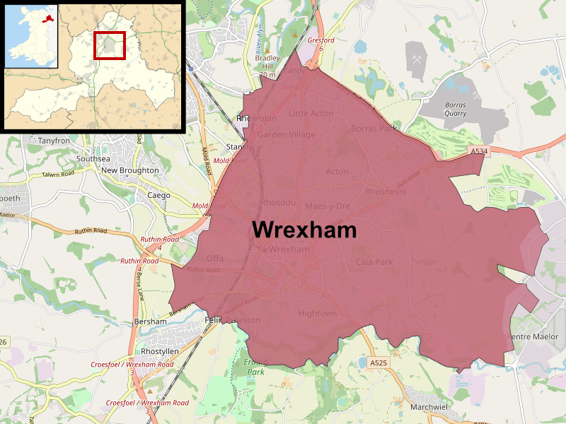
Description: Map of the Wrexham Built-up area (BUA) or Wrexham Urban area, roughly following the boundaries used by the Office for National Statistics in the 2021 census. Red indicates the main Wrexham urban agglomerate.
Title: Wrexham built-up area map 2021
Credit: Own work, using rough boundaries used by the Office for National Statistics at ons.gov.uk Build a custom area profile under "Wrexham - Built-up area", and Openstreetmap data.
Author: DankJae
Usage Terms: Creative Commons Attribution-Share Alike 4.0
License: CC BY-SA 4.0
License Link: https://creativecommons.org/licenses/by-sa/4.0
Attribution Required?: Yes
Image usage
The following page links to this image:

All content from Kiddle encyclopedia articles (including the article images and facts) can be freely used under Attribution-ShareAlike license, unless stated otherwise.