
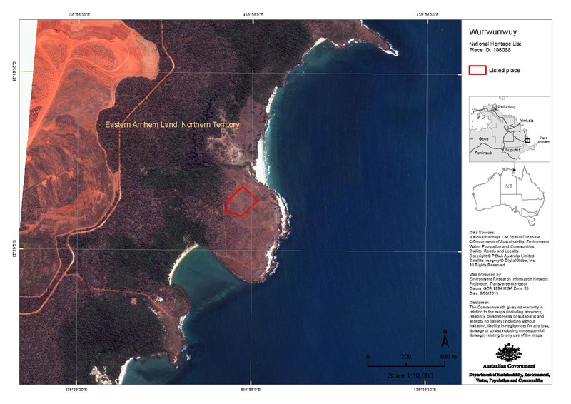
Image: Wurrwurrwuy map, showing Australian National Heritage List boundaries, 9 August 2013.pdf
Size of this JPG preview of this PDF file: 800 × 566 pixels. Other resolution: 320 × 226 pixels.
Original image (1,753 × 1,240 pixels, file size: 5.79 MB, MIME type: application/pdf)
Description: Wurrwurrwuy map, showing Australian National Heritage List boundaries, 9 August 2013
Author: Environment Research Information Network
Usage Terms: Creative Commons Attribution-Share Alike 3.0
License: CC-BY-SA-3.0
License Link: http://creativecommons.org/licenses/by-sa/3.0/
Attribution Required?: Yes
Image usage
The following page links to this image:

All content from Kiddle encyclopedia articles (including the article images and facts) can be freely used under Attribution-ShareAlike license, unless stated otherwise.