
Image: Wyoming-Minisink Path historic marker 2

Size of this preview: 718 × 600 pixels. Other resolutions: 287 × 240 pixels | 2,097 × 1,752 pixels.
Original image (2,097 × 1,752 pixels, file size: 1.57 MB, MIME type: image/jpeg)
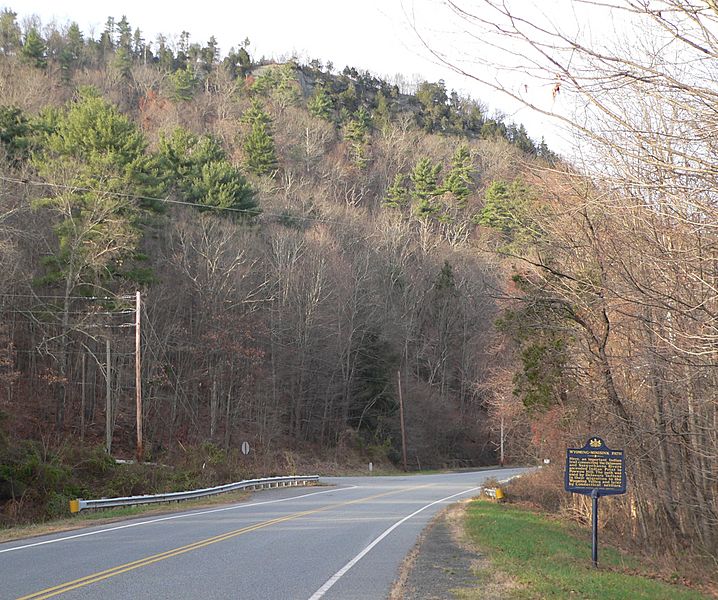
Description: "Wyoming-Minisink Path" historical marker beside U.S. Highway 209 in Delaware Water Gap National Recreation Area, between Dingmans Ferry and Milford, Pennsylvania. Camera is facing northward. The low guardrails on either side of the highway are at the Raymondskill Creek crossing.
Title: Wyoming-Minisink Path historic marker 2
Credit: Own work
Author: Ammodramus
Usage Terms: Creative Commons Zero, Public Domain Dedication
License: CC0
License Link: http://creativecommons.org/publicdomain/zero/1.0/deed.en
Attribution Required?: No
Image usage
The following page links to this image:

All content from Kiddle encyclopedia articles (including the article images and facts) can be freely used under Attribution-ShareAlike license, unless stated otherwise.