
Image: Yaqui location

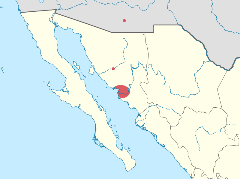
Description: A map showing the approximate locations of Yaqui people Sources: https://www.gob.mx/inpi/es/articulos/etnografia-del-pueblo-yaqui-de-sonora?idiom=es http://sina.conagua.gob.mx/sina/tema.php?tema=distritosriego (Irrigation district 018 Colonias Yaquis) https://web.archive.org/web/20110616191618/http://www.e-local.gob.mx/wb/ELOCAL/EMM_sonora (Municipalities of Bácum, Cajeme, Empalme, Guaymas, and Hermosillo) https://www.census.gov/cgi-bin/geo/shapefiles/index.php?year=2021&layergroup=American+Indian+Area+Geography (Pascua Pueblo Yaqui Reservation, Arizona)
Title: Yaqui location
Credit: This vector image includes elements that have been taken or adapted from this file:
Author: SpockFan02
Usage Terms: Creative Commons Attribution-Share Alike 4.0
License: CC BY-SA 4.0
License Link: https://creativecommons.org/licenses/by-sa/4.0
Attribution Required?: Yes
Image usage
The following page links to this image:
