Acayucan facts for kids
Quick facts for kids
Acayucan
|
|
|---|---|
|
City and municipal seat
|
|
| Country | |
| State | Veracruz |
| Municipality | Acayucan |
| Town status | 13 June 1848 |
| City status | 26 September 1910 |
| Elevation | 100 m (300 ft) |
| Population
(INEGI2010)
|
|
| • Total | 83,817 |
| • Municipality | 79,429 |
| Time zone | UTC-6 (Central (US Central)) |
| Postal code |
96000
|
| Area code(s) | 924 |
| Demonym | Acayuqueño |
| Climate | Aw |
| Website | www.acayucan.gob.mx |
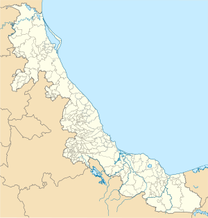
Acayucan is a city in the Mexican state of Veracruz. It is located in the southeastern part of the state, in a region called Olmeca. Acayucan is also the main town, or "municipal seat," for the larger area known as the Acayucan Municipality.
In 2005, a census by INEGI counted 49,945 people living in Acayucan. By 2010, the total population for the city and its surrounding municipality was 83,817 people.
About Acayucan
Acayucan is an important city in the state of Veracruz. It serves as a center for the local government and community. The people who live here are called Acayuqueños.
Location and Climate
Acayucan is found in the southeastern part of Veracruz. It sits about 100 meters (328 feet) above sea level. The city has a tropical savanna climate, which means it is usually warm all year round. It also has distinct wet and dry seasons.
How Acayucan Grew
Acayucan has grown quite a bit over the years. It was officially recognized as a town on June 13, 1848. Later, on September 26, 1910, it was given the status of a city. This shows how it became a more important place over time.
See also
 In Spanish: Acayucan para niños
 | John T. Biggers |
 | Thomas Blackshear |
 | Mark Bradford |
 | Beverly Buchanan |


