Afon Col-huw facts for kids
Quick facts for kids River Colhuw |
|
|---|---|
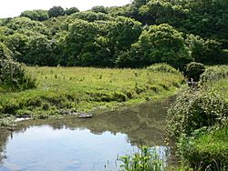
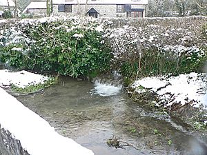
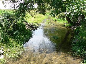
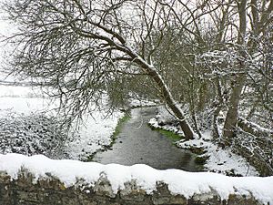
The Afon Col-huw south of Llantwit Major.
|
|
| Native name | Afon Col-huw |
| Country | United Kingdom, Wales |
| Region | South Wales |
| County | Vale of Glamorgan |
| Cities | Llantwit Major, Llanmaes, Boverton |
| Physical characteristics | |
| Main source | Southwest of Llantwit Major, Vale of Glamorgan, Vale of Glamorgan, Wales |
| Length | 1.60 km (0.99 mi) |
| Discharge (location 2) |
|
| Basin features | |
| Tributaries |
|
The Afon Col-huw, often called the River Colhuw, is a very short river in Llantwit Major, a town in the Vale of Glamorgan, south Wales. It's only about 1.6 kilometers (1 mile) long!
This small river is formed when two smaller streams, the Ogney Brook and the Hoddnant, join together south of Llantwit Major. The valley where the river flows, called Cwm Col-huw, is a special historical site. It was even used for farming during World War II as part of the "Dig for Victory" effort.
Contents
The Streams That Form the Col-huw
The Afon Col-huw is created by the meeting of two main streams: the Ogney Brook and the Hoddnant. Let's learn a bit about each of them.
Ogney Brook
The Ogney Brook is one of the two streams that combine to form the River Col-huw. It flows along the western side of Llantwit Major. Its source, or starting point, is just northwest of the town. In 1998, the Ogney Brook flooded, causing damage to several homes and a pumping station.
Hoddnant
The Hoddnant is the larger of the two streams that feed the Col-huw. It is about 3.2 kilometers (2 miles) long. The Hoddnant itself is formed when two even smaller streams, the Llanmaes Brook and the Boverton Brook, meet near Llanmaes.
In the past, the Hoddnant was sometimes called the Merryvale or Merry Brook. This was an English translation of its Welsh name.
Boverton Brook
The Boverton Brook is one of the streams that forms the Hoddnant. It doesn't actually flow through the village of Boverton itself. Instead, it joins with the Llanmaes Brook before reaching Boverton. In the 1998 floods, the Boverton Brook also caused significant damage to homes and an electricity station.
Llanmaes Brook
The Llanmaes Brook is the longest part of the entire Col-huw river system. It starts over a kilometer north of Llantwit Major. The brook flows southeast through the town of Llanmaes. It then joins the Boverton Brook near a railway in northeast Boverton.
Like many small rivers in Wales, the Llanmaes Brook caused flooding and damage during the 1998 floods. In Llanmaes, seven properties were affected. Even today, some areas of Llanmaes can still experience flooding from this brook.
Where the River Meets the Sea
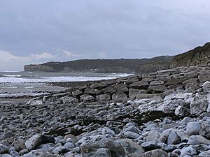
The Afon Col-huw flows into the sea at Col-huw Point, which is where Llantwit Major beach is located. At its mouth, the river flows across the sand and stones of the beach.
The river's mouth used to be very sandy. However, due to dredging (removing sand from the seabed) in the Bristol Channel, less and less sand is now found around the river's end. This dredging has also affected the nearby Nash Bank.
Interestingly, the remains of a small port have been found about 200 meters out to sea from the beach. This port was located at the historical mouth of the Col-huw river. Scientists have used radiocarbon dating to figure out that the port was used between the years 1400 and 1600.
The port was destroyed when the land around it began to erode and sink into the sea. It's thought that because of this, the river, which was once used to transport goods all the way upstream to Llantwit, became filled with silt and turned into the small stream it is today.
 | Stephanie Wilson |
 | Charles Bolden |
 | Ronald McNair |
 | Frederick D. Gregory |


