Amistad, Texas facts for kids
Quick facts for kids
Amistad, Texas
|
|
|---|---|
 |
|

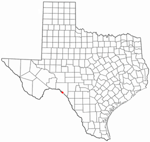
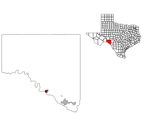
Location of Amistad, Texas
|
|
 |
|
| Country | United States |
| State | Texas |
| County | Val Verde |
| Area | |
| • Total | 1.5 sq mi (3.9 km2) |
| • Land | 1.5 sq mi (3.9 km2) |
| • Water | 0 sq mi (0.0 km2) |
| Population
(2020)
|
|
| • Total | 24 |
| • Density | 15.9/sq mi (6.15/km2) |
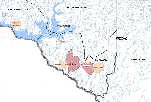
Amistad is a small community in Val Verde County, Texas, United States. It is known as a census-designated place (CDP). This means it's an area that the government counts separately for population, even though it's not an official city or town.
In 2010, about 53 people lived in Amistad. By 2020, the population was 24. Before 2010, Amistad was part of a larger area called Box Canyon-Amistad.
Contents
Where is Amistad Located?
Amistad is found in the state of Texas. Its exact location is at 29.5245 degrees north latitude and 101.1531 degrees west longitude.
Land Area of Amistad
According to the United States Census Bureau, Amistad covers a total area of 3.9 square kilometers. All of this area is land, with no water.
Schools in Amistad
Students in Amistad attend schools that are part of the Comstock Independent School District.
Higher Education Options
For students looking to continue their education after high school, the entire Val Verde County area is served by Southwest Texas Junior College. This college offers various programs and courses.
How Many People Live in Amistad?
The population of Amistad has changed over the years.
- In 2010, the population was 53 people.
- By 2020, the population was 24 people.
See also
 In Spanish: Amistad (Texas) para niños
 | Delilah Pierce |
 | Gordon Parks |
 | Augusta Savage |
 | Charles Ethan Porter |

