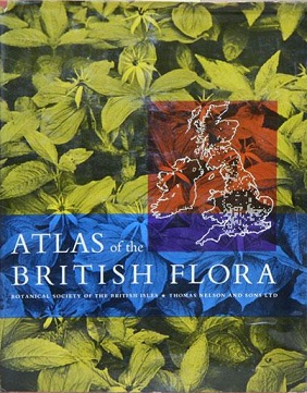
Atlas of the British Flora facts for kids

First edition
|
|
| Author | Franklyn Perring and S. Max Walters |
|---|---|
| Country | United Kingdom |
| Language | English |
| Publisher | Botanical Society of the British Isles |
|
Publication date
|
1962 |
| Media type | |
| ISBN | 0-901158-19-4 (3rd edition) |
| OCLC | 28734311 |
The Atlas of the British Flora is a special book about plants. It was written by Franklyn Perring and S. Max Walters. The Botanical Society of the British Isles published this important work.
This atlas helps us understand where different plants grow. It was first released in 1962. Later, updated versions came out in 1976 and 1982.
What is the Atlas of the British Flora?
This book is like a map collection for plants. It shows you exactly where many types of plants can be found. It covers plants growing across Britain and Ireland.
Mapping Plant Locations
The atlas uses special maps to show plant locations. These are called 10-km square distribution maps. Imagine a grid laid over the land. Each square on the grid is 10 kilometers by 10 kilometers. If a plant is found in that square, it gets marked on the map. This helps scientists see patterns of plant growth.
What Kinds of Plants Are Mapped?
The atlas focuses on certain types of plants. It includes plants that are:
- Native: These are plants that have grown naturally in Britain and Ireland for a very long time.
- Alien: These are plants that were brought to Britain and Ireland from other countries. They now grow commonly in the wild.
- Vascular: This means plants that have a system for carrying water and nutrients. Think of trees, flowers, ferns, and grasses. They have roots, stems, and leaves.
The atlas helps us learn about the amazing variety of plants around us. It is a key tool for anyone studying the plants of Britain and Ireland.

