Cerro Platillón Natural Monument facts for kids
Quick facts for kids Cerro Platillón Natural MonumentMonumento Natural Cerro Platillón |
|
|---|---|
|
IUCN Category III (Natural Monument)
|
|
 |
|
| Location | |
| Area | 80 km2 (31 sq mi) |
| Established | February 4, 1987 |
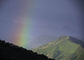
The Cerro Platillón Natural Monument (also called Pico Platillón) is a special protected area in Venezuela. It's a tall mountain located in the northern part of Guárico State. This monument helps protect an important part of nature.
Pico Platillón is the highest mountain in the Guárico state. It stands tall at 1,930 meters (about 6,332 feet) above sea level. It was officially protected on February 20, 1987. This protection means its unique environment is kept safe for everyone.
Where is Cerro Platillón?
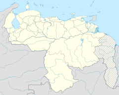
Pico Platillón is found in the middle of a mountain range. This range is part of the Juan Germán Roscio Natural Monument. It is located west of San Juan de los Morros. It is also south of Lake Valencia. Other mountains like Topo Cruz are nearby.
Why is it protected?
This area is protected because it is a "natural monument." A natural monument is a place that has unique natural features. These features could be landforms, plants, or animals. Protecting them helps keep them safe for the future. It also allows people to learn about and enjoy nature.
See also
 In Spanish: Monumento natural Pico Platillón para niños
- List of national parks of Venezuela
- Cueva Alfredo Jahn Natural Monument


