Durand, Kansas facts for kids
Quick facts for kids
Durand, Kansas
|
|
|---|---|

|
|
| Country | United States |
| State | Kansas |
| County | Woodson |
| Elevation | 994 ft (303 m) |
| Time zone | UTC-6 (CST) |
| • Summer (DST) | UTC-5 (CDT) |
| Area code | 620 |
| FIPS code | 20-19025 |
| GNIS ID | 484687 |
Durand is a small, unincorporated community located in Woodson County, Kansas, in the United States. An "unincorporated community" means it's a place where people live, but it doesn't have its own local government like a city or town. Instead, it's usually managed by the county.
Location and Geography
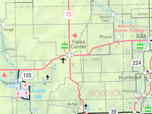
Durand is found in the southeastern part of Kansas. It sits in Woodson County, which is known for its rolling hills and farmland. The community is located at coordinates 37°53′23″N 95°41′35″W. This helps pinpoint its exact spot on a map. The elevation of Durand is about 994 feet above sea level.
Education
Students living in Durand attend public schools through the Woodson USD 366 school district. This district serves several communities in Woodson County, providing education for kids from elementary to high school.
 | William Lucy |
 | Charles Hayes |
 | Cleveland Robinson |


