
Image: (The line of) Hadrian's Wall west of Piers Gate - geograph.org.uk - 2599435
No higher resolution available.
(The_line_of)_Hadrian's_Wall_west_of_Piers_Gate_-_geograph.org.uk_-_2599435.jpg (640 × 480 pixels, file size: 108 KB, MIME type: image/jpeg)
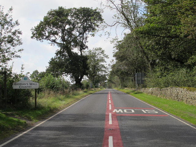
Description: (The line of) Hadrian's Wall west of Piers Gate, Data from Geograph: Description: The Wall itself lies under the Military Road (B6318). ICBM: 55.011586458567, -1.9514959220489 Location: 3 km from Aydon, Northumberland, Great Britain.
Title: (The line of) Hadrian's Wall west of Piers Gate - geograph.org.uk - 2599435
Credit: From geograph.org.uk; transferred by User:Dumelow using geograph_org2commons.
Author: Mike Quinn
Permission: Creative Commons Attribution Share-alike license 2.0
Usage Terms: Creative Commons Attribution-Share Alike 2.0
License: CC BY-SA 2.0
License Link: https://creativecommons.org/licenses/by-sa/2.0
Attribution Required?: Yes
Image usage
The following page links to this image:

All content from Kiddle encyclopedia articles (including the article images and facts) can be freely used under Attribution-ShareAlike license, unless stated otherwise.
_Hadrian's_Wall_west_of_Piers_Gate_-_geograph.org.uk_-_2599435.jpg)