
Image: 1806 Cary Map of Florida, Georgia, North Carolina, South Carolina and Tennessee - Geographicus - NCSCGAFL-cary-1806
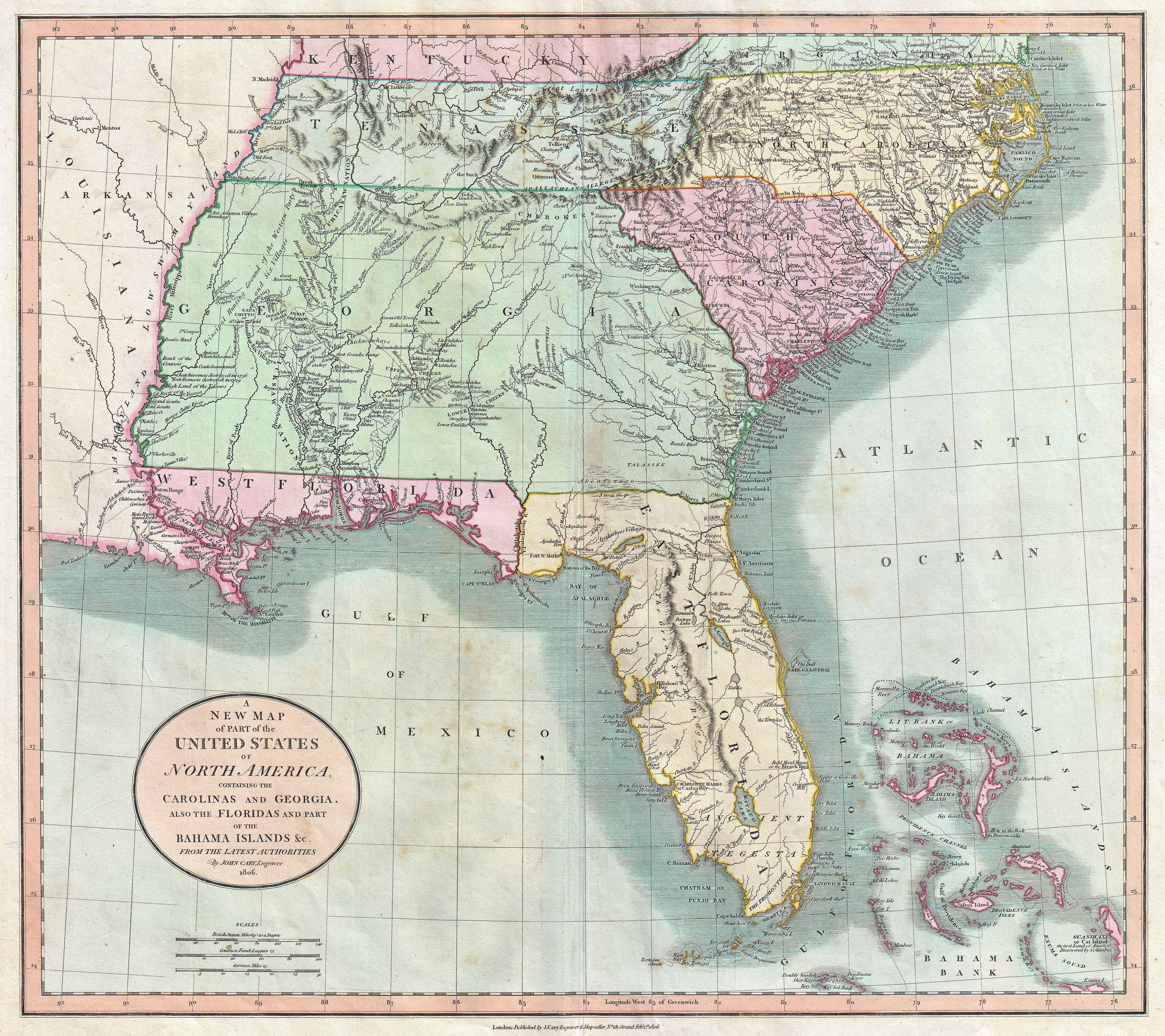
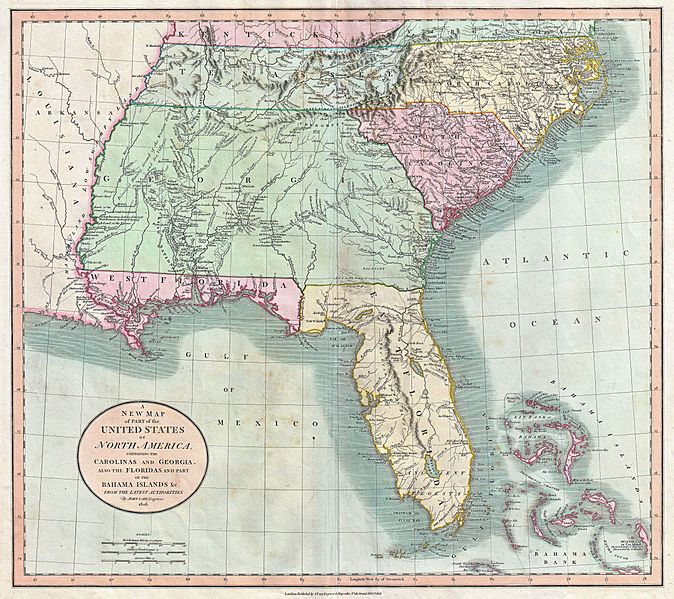
Description: Published by John Cary in 1805, this is one of the most interesting and attractive maps of the American southeast to appear in the first years of the 19th century. Covers from Kentucky and Virginia South include all of modern day North Carolina, South Carolina, Tennessee, Georgia, Alabama, Mississippi and Florida. Georgia is shown extending westward as far as the Mississippi River despite the creation of the Mississippi Territory in 1798. Florida is divided at the Appalachicola River into eastern and western sections. West Florida, ostensibly part of the Louisiana Purchase, was claimed by the Spanish and remained under their control until 1812. (See West Florida Controversy.) Southern Florida is labeled “Ancient Tegesta” according to the 18th century convention. Tegesta is a name of somewhat mysterious origins that appears on maps of Florida as early as the 1600s. It most likely refers to a vanished American Indian tribe or abandoned village located near what is today Miami. Offers copious notations and comments throughout, most of which are extremely interesting. Identifies the locations of numerous American Indian nations including the Creeks, the Chicksaw Nation, the Cherokees and others. Notes the abandoned Applachee Villages in northern Florida. Also offers notes on American Indian hunting grounds, springs, river navigation, roads, swamps, forts and the sites of important battles. All-in-all a wonderful example of a rare and important map of the American southeast. Prepared in 1806 by John Cary for issue in his magnificent 1808 New Universal Atlas .
Title: A New Map of Part of the United States of North America, Containing the Carolinas and Georgia, also the Floridas and Part of the Bahama Islands &c.
Credit: Cary, John, Cary's New Universal Atlas, containing distinct maps of all the principal states and kingdoms throughout the World. From the latest and best authorities extant. London: Printed for J. Cary, Engraver and Map-seller, No. 181, near Norfolk Street, Strand, 1808. This file was provided to Wikimedia Commons by Geographicus Rare Antique Maps, a specialist dealer in rare maps and other cartography of the 15th, 16th, 17th, 18th and 19th centuries, as part of a cooperation project. Deutsch | English | français | македонски | Nederlands | polski | +/−
Author: John Cary
Permission: This is a faithful photographic reproduction of a two-dimensional, public domain work of art. The work of art itself is in the public domain for the following reason: This work is in the public domain in its country of origin and other countries and areas where the copyright term is the author's life plus 100 years or less. You must also include a United States public domain tag to indicate why this work is in the public domain in the United States. This file has been identified as being free of known restrictions under copyright law, including all related and neighboring rights. The official position taken by the Wikimedia Foundation is that "faithful reproductions of two-dimensional public domain works of art are public domain". This photographic reproduction is therefore also considered to be in the public domain in the United States. In other jurisdictions, re-use of this content may be restricted; see Reuse of PD-Art photographs for details.
Usage Terms: Public domain
License: Public domain
Attribution Required?: No
Image usage
The following 4 pages link to this image:
