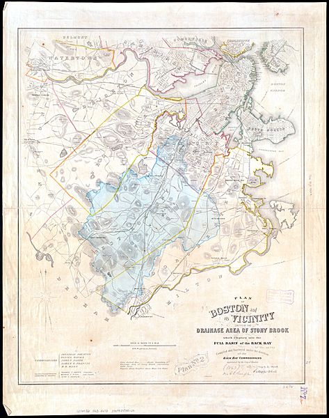
Image: 1863 map of Stony Brook drainage basin

Description: An 1863 map of the Stony Brook drainage basin. Over the next century, most of the Stony Brook and its tributaries were placed in culverts.
Title: 1863 map of Stony Brook drainage basin
Credit: Norman B. Leventhal Map Center
Author: H. M. Wightman, surveyor
Permission: Public domain works must be out of copyright in both the United States and in the source country of the work in order to be hosted on the Commons. If the work is not a U.S. work, the file must have an additional copyright tag indicating the copyright status in the source country. PD-1923Public domain in the United States//commons.wikimedia.org/wiki/File:1863_map_of_Stony_Brook_drainage_basin.jpg
Usage Terms: Public domain
License: Public domain
Attribution Required?: No
Image usage
The following page links to this image:

