
Image: 1867 Beers North Castle map Armonk closeup
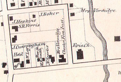
Description: Closeup of an 1867 Beers map of North Castle showing the hamlet of Armonk and the future Bedford Road Historic District as they were at the time.
Title: 1867 Beers North Castle map Armonk closeup
Credit: This file was provided to Wikimedia Commons by Geographicus Rare Antique Maps, a specialist dealer in rare maps and other cartography of the 15th, 16th, 17th, 18th and 19th centuries, as part of a cooperation project.
Author: http://www.geographicus.com/mm5/cartographers/beers.txt, Excerpt cropped by Daniel Case shortly before upload
Permission: Public domain works must be out of copyright in both the United States and in the source country of the work in order to be hosted on the Commons. If the work is not a U.S. work, the file must have an additional copyright tag indicating the copyright status in the source country. PD-1923Public domain in the United States//commons.wikimedia.org/wiki/File:1867_Beers_North_Castle_map_Armonk_closeup.jpg
Usage Terms: Public domain
License: Public domain
Attribution Required?: No
Image usage
The following page links to this image:
