
Image: 1909AtlasPlate13-Newtown-Ward2-Woodside-NYPL
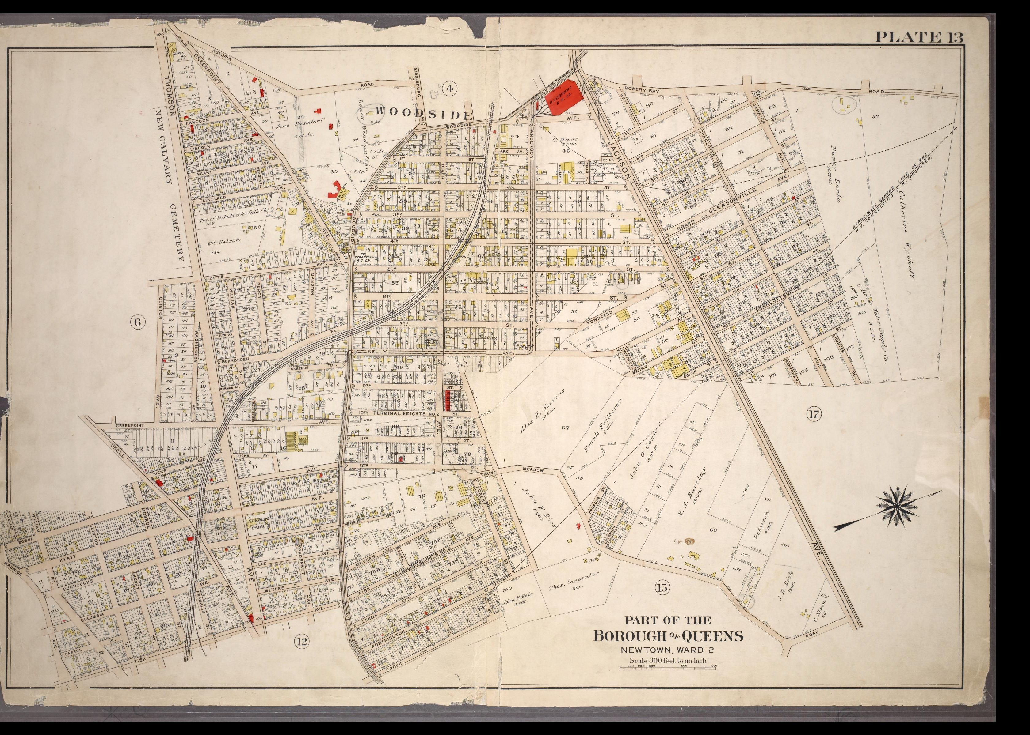
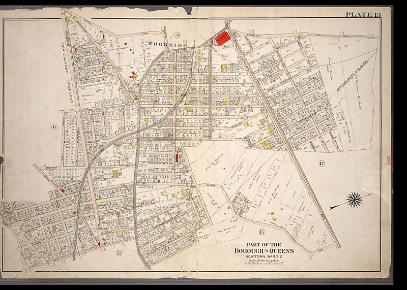
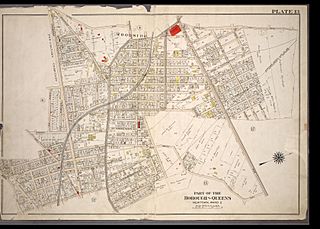
Description: 1909 Atlas sheet showing Queens Ward 2 (encompassing the village of Woodside). This property map, used for fire insurance purposes, shows houses and other buildings, streets, rail and trolley lines, and elevation and hydrants.
Title: 1909AtlasPlate13-Newtown-Ward2-Woodside-NYPL
Credit: Part of the Borough of Queens, Newtown Ward 2. in: Atlas of the city of New York, borough of Queens, Long Island City, Newtown, Flushing, Jamaica, Far Rockaway, from actual surveys and official plans, Vol. 2, Plate 13, by George W. and Walter S. Bromley (Philadelphia, G.W. Bromley & Co., 1909)
Author: George W. and Walter S. Bromley
Usage Terms: Public domain
License: Public domain
Attribution Required?: No
Image usage
The following 2 pages link to this image:
