
Image: 1918 UK general election map

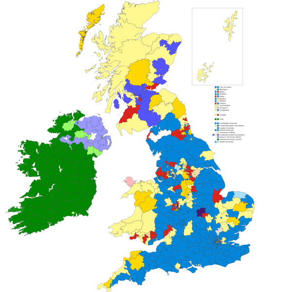
Description: Map for results of the 1918 United Kingdom general election. Manual trace of source 1 appended to source 2. Colours are as below. Conservative Party Labour Party Coalition Liberal Coalition Labour Liberal Scottish Unionist Party National Democratic and Labour National Socialist Party Co-operative Party National Party Sinn Féin Irish Unionist Labour Unionist Irish Parliamentary Party Independent Irish Nationalist Independent Labour Independent Liberal Independent Unionist The Speaker seeking re-election
Title: 1918 UK general election map
Credit: https://en.wikipedia.org/wiki/File:1922_UK_General_Election_Results.png and https://en.wikipedia.org/wiki/File:United_Kingdom_general_election_1922_in_Scotland.svg
Author: JMPhillips92
Usage Terms: Creative Commons Attribution-Share Alike 4.0
License: CC BY-SA 4.0
License Link: https://creativecommons.org/licenses/by-sa/4.0
Attribution Required?: Yes
Image usage
The following page links to this image:
