
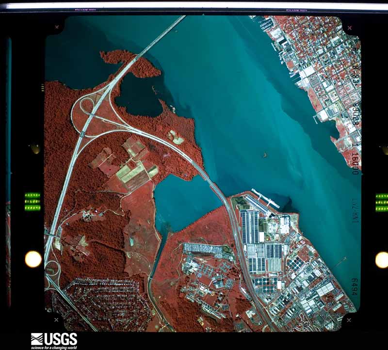
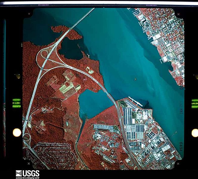
Image: 1983 aerial photograph of the Potomac River in the District of Columbia and Alexandria, Virginia, showing Oxon Cove and Woodrow Wilson Bridge
Size of this preview: 664 × 599 pixels. Other resolutions: 266 × 240 pixels | 800 × 722 pixels.
Original image (800 × 722 pixels, file size: 111 KB, MIME type: image/jpeg)
Description: Aerial photograph of Potomac River at Oxon Cove, District of Columbia, USA. USGS Entity ID: ARL830280596494; Photo ID: L830280596494
Title: 1983 aerial photograph of the Potomac River in the District of Columbia and Alexandria, Virginia, showing Oxon Cove and Woodrow Wilson Bridge
Credit: US Geological Survey
Author: US Geological Survey
Usage Terms: Public domain
License: Public domain
Attribution Required?: No
Image usage
The following page links to this image:

All content from Kiddle encyclopedia articles (including the article images and facts) can be freely used under Attribution-ShareAlike license, unless stated otherwise.