
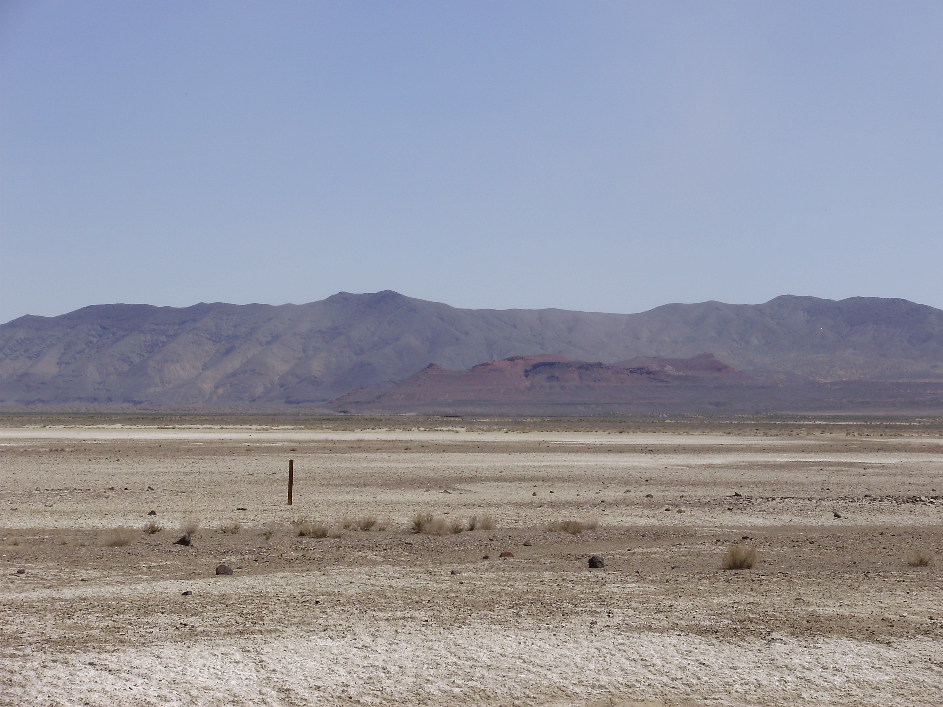
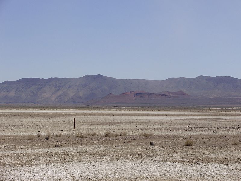
Image: 2015-04-18 12 48 23 View of Topog Peak and the westernmost part of the West Humboldt Range from U.S. Route 95 near the junction with Interstate 80 in Churchill County, Nevada
Size of this preview: 800 × 600 pixels. Other resolutions: 320 × 240 pixels | 3,264 × 2,448 pixels.
Original image (3,264 × 2,448 pixels, file size: 2.03 MB, MIME type: image/jpeg)
Description: View of Topog Peak and the westernmost part of the West Humboldt Range from U.S. Route 95 near the junction with Interstate 80 in Churchill County, Nevada
Title: 2015-04-18 12 48 23 View of Topog Peak and the westernmost part of the West Humboldt Range from U.S. Route 95 near the junction with Interstate 80 in Churchill County, Nevada
Credit: Own work
Author: Famartin
Usage Terms: Creative Commons Attribution-Share Alike 4.0
License: CC BY-SA 4.0
License Link: https://creativecommons.org/licenses/by-sa/4.0
Attribution Required?: Yes
Image usage
The following page links to this image:

All content from Kiddle encyclopedia articles (including the article images and facts) can be freely used under Attribution-ShareAlike license, unless stated otherwise.