
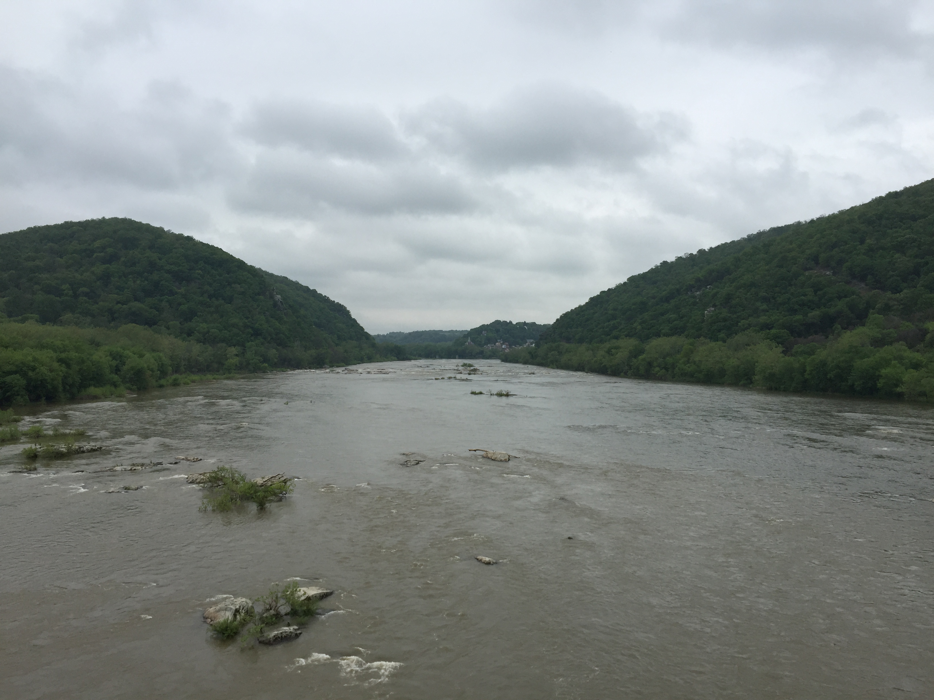
Image: 2016-05-05 09 45 21 View west up the Potomac River towards the Potomac Water Gap from the Sandy Hook Bridge (U.S. Route 340) between Washington County, Maryland and Loudoun County, Virginia
Size of this preview: 800 × 600 pixels. Other resolutions: 320 × 240 pixels | 3,264 × 2,448 pixels.
Original image (3,264 × 2,448 pixels, file size: 1.65 MB, MIME type: image/jpeg)
Description: View west up the Potomac River towards the Potomac Water Gap from the Sandy Hook Bridge (U.S. Route 340) between Washington County, Maryland and Loudoun County, Virginia
Title: 2016-05-05 09 45 21 View west up the Potomac River towards the Potomac Water Gap from the Sandy Hook Bridge (U.S. Route 340) between Washington County, Maryland and Loudoun County, Virginia
Credit: Own work
Author: Famartin
Usage Terms: Creative Commons Attribution-Share Alike 4.0
License: CC BY-SA 4.0
License Link: https://creativecommons.org/licenses/by-sa/4.0
Attribution Required?: Yes
Image usage
The following page links to this image:

All content from Kiddle encyclopedia articles (including the article images and facts) can be freely used under Attribution-ShareAlike license, unless stated otherwise.
_between_Washington_County,_Maryland_and_Loudoun_County,_Virginia.jpg)