
Image: AA bedrock surface.4960
Size of this JPG preview of this TIF file: 800 × 450 pixels. Other resolution: 320 × 180 pixels.
Original image (1,920 × 1,080 pixels, file size: 2.4 MB, MIME type: image/tiff)
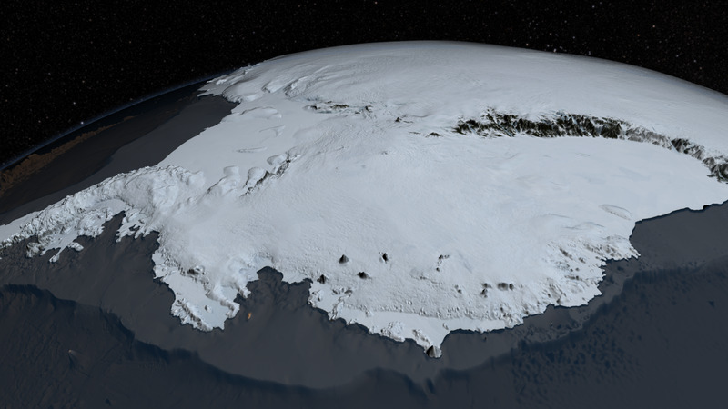
Description: Since 2009, NASA's mission Operation IceBridge (OIB) has flown aircraft over the Antarctic Ice Sheet carrying laser and ice-penetrating radar instruments to collect data about the surface height, bedrock topography and ice thickness. Source http://svs.gsfc.nasa.gov/cgi-bin/details.cgi?aid=4060
Usage Terms: Public domain
Image usage
The following page links to this image:

All content from Kiddle encyclopedia articles (including the article images and facts) can be freely used under Attribution-ShareAlike license, unless stated otherwise.