
Image: A Map Of The State Of Pennsylvania by Reading Howell, 1792 crop1
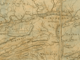
Size of this preview: 800 × 600 pixels. Other resolutions: 320 × 240 pixels | 900 × 675 pixels.
Original image (900 × 675 pixels, file size: 1.15 MB, MIME type: image/png)
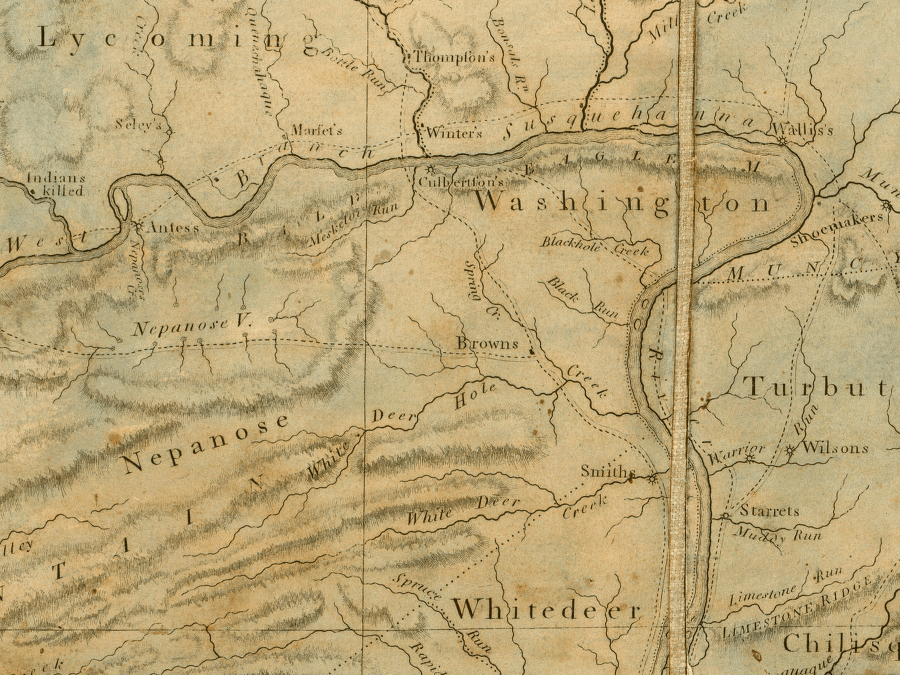
Description: A map of the state of Pennsylvania, cropped and centered around White Deer Hole Creek. Originally 94 cm by 162 cm, with a scale of 1:310000. For more information and the complete file in .sid, see the online source, http://www.davidrumsey.com/maps6528.html.
Title: A Map Of The State Of Pennsylvania by Reading Howell, 1792 crop1
Credit: Published by James Phillips, scanned by the David Rumsey Collection.
Author: Reading Howell
Usage Terms: Public domain
License: Public domain
Attribution Required?: No
Image usage
The following page links to this image:

All content from Kiddle encyclopedia articles (including the article images and facts) can be freely used under Attribution-ShareAlike license, unless stated otherwise.