
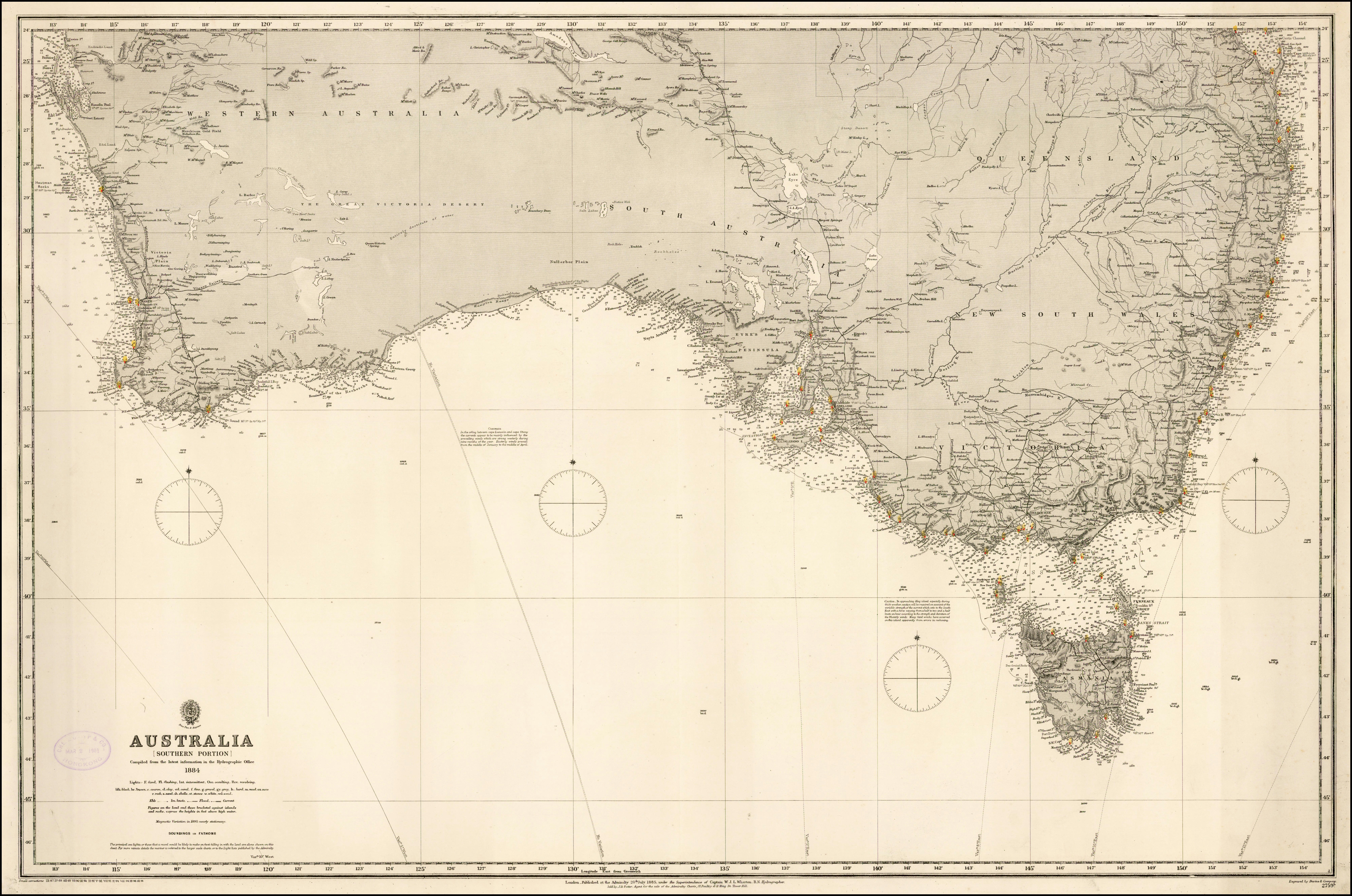
Image: Admiralty Chart No 2759b Australia (Southern Portion) Compiled from the latest information in the Hydrographic Office, Published 1885, Corrections to 1896
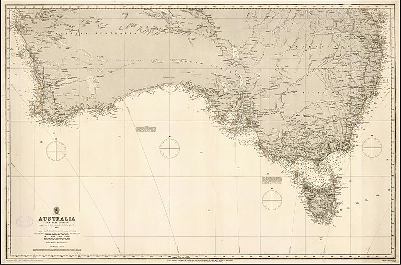
Size of this preview: 800 × 530 pixels. Other resolutions: 320 × 212 pixels | 7,964 × 5,278 pixels.
Original image (7,964 × 5,278 pixels, file size: 5.05 MB, MIME type: image/jpeg)
Description: 1884 Admiralty Chart - Australia (Southern Portion) Compiled from the latest information in the Hydrographic Office
Title: Admiralty Chart No 2759b Australia (Southern Portion) Compiled from the latest information in the Hydrographic Office, Published 1885, Corrections to 1896
Credit: https://www.raremaps.com/gallery/detail/40595/australia-southern-portion-compiled-from-the-latest-inform-british-admiralty
Author: British Admiralty
Usage Terms: Public domain
License: Public domain
Attribution Required?: No
Image usage
The following page links to this image:

All content from Kiddle encyclopedia articles (including the article images and facts) can be freely used under Attribution-ShareAlike license, unless stated otherwise.
_Compiled_from_the_latest_information_in_the_Hydrographic_Office,_Published_1885,_Corrections_to_1896.jpg)