
Image: Aerial Fort Peck Dam before slide B
Size of this preview: 773 × 599 pixels. Other resolutions: 310 × 240 pixels | 2,100 × 1,628 pixels.
Original image (2,100 × 1,628 pixels, file size: 2.18 MB, MIME type: image/jpeg)
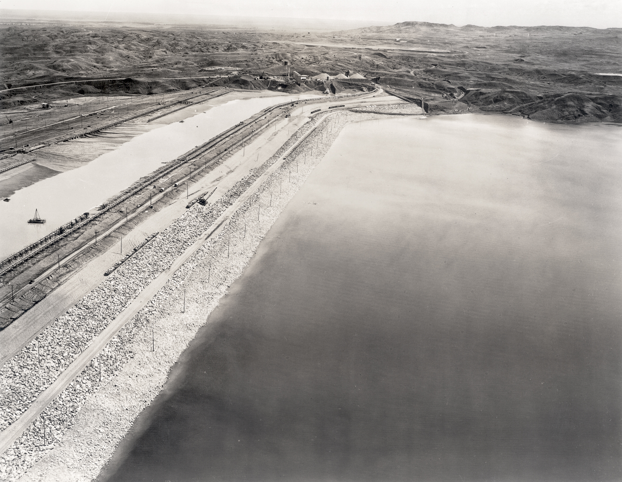
Description: A view of the intact Fort Peck Dam during construction before the disastrous slide of September 22, 1938 — which occurred at the far eastern end, located the top center in this image. Northeastern Montana.
Title: Aerial Fort Peck Dam before slide B
Credit: From a photo made by my father , Robert A. Midthun, when he worked as assistant project photographer for the U.S. Army Corps of Engineers during the construction of Fort Peck Dam.
Author: Robert A. Midthun
Permission: Permission given to me by my father before his death and now as executor and inheritor of his estate.
Usage Terms: Public domain
License: Public domain
Attribution Required?: No
Image usage
The following page links to this image:

All content from Kiddle encyclopedia articles (including the article images and facts) can be freely used under Attribution-ShareAlike license, unless stated otherwise.