
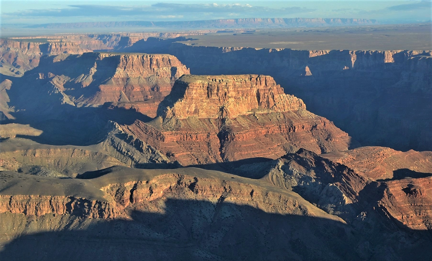
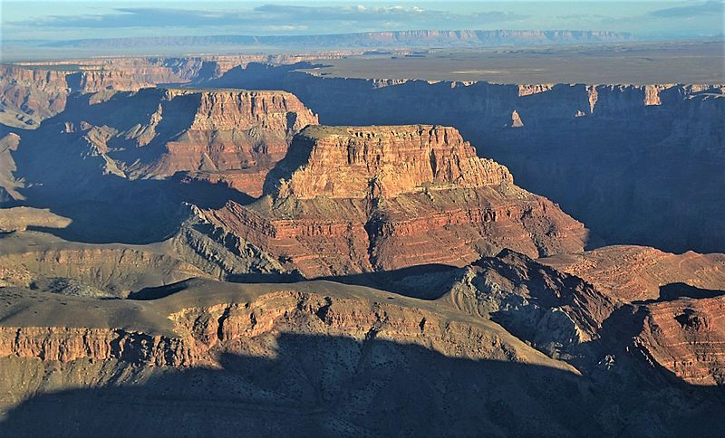
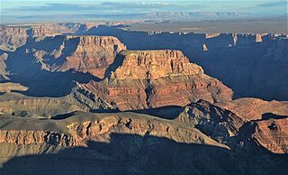
Image: Aerial Kwagunt Butte, Nankoweap Mesa
Description: This photo is a view from one of the routes in the National Park Service (NPS) Preferred Alternative within the Draft Environmental Impact Statement (EIS), Special Flight Rules Area in the Vicinity of Grand Canyon National Park (GCNP), illustrating the high quality scenic views and grandeur of GCNP. In this view the aircraft is heading east and the view is looking north towards Awatubi Crest, Kwagunt Butte, and Nankoweap Mesa. NPS Photo
Title: Aerial Kwagunt Butte, Nankoweap Mesa
Credit: File:Grand Canyon DEIS Aerial Kwagunt Butte & Nankoweap Mesa (5476838995).jpg
Author: Grand Canyon National Park
Usage Terms: Creative Commons Attribution 2.5
License: CC BY 2.5
License Link: https://creativecommons.org/licenses/by/2.5
Attribution Required?: Yes
Image usage
The following page links to this image:
