Awatubi Crest facts for kids
Quick facts for kids Awatubi Crest |
|
|---|---|

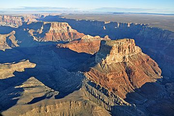
Southwest flank of Kwagunt Butte, an upthrust of Awatubi Crest
|
|
| Highest point | |
| Elevation | 5,276 ft (1,608 m) |
| Prominence | 450 ft (140 m) |
| Isolation | 1.2 mi (1.9 km) |
| Parent peak | Kwagunt Butte (6,377 ft) |
| Geography | |
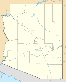
| Location | Grand Canyon National Park Coconino County, Arizona, US |
| Parent range | Kaibab Plateau-(at East Rim, East Grand Canyon) Colorado Plateau |
| Topo map | USGS Cape Solitude |
| Geology | |
| Age of rock | Neoproterozoic |
| Mountain type | sedimentary rock |
| Type of rock | Kwagunt Formation |
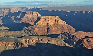
Awatubi Crest is a mountain peak in the eastern Grand Canyon in Arizona, USA. It stands about 5,276 feet (1,608 meters) high. You can find it in Coconino County.
This crest is located between two larger mountains: Kwagunt Butte to the north and Chuar Butte to the south. While those mountains are made of many common layers of rock, Awatubi Crest is special. It was formed by a powerful geological event called the Butte Fault. This fault pushed up older rocks, known as the Kwagunt Formation, to create the crest.
The Butte Fault looks like a low, white ridge. It runs north to south along the western sides of these mountains. This ridge stretches all the way north to Nankoweap Mesa. At the southern end of the fault, near Chuar Butte, Awatubi Crest stands out. It's made of dark brown rocks from the Kwagunt Formation that are tilted sharply upwards.
What is Awatubi Crest?
Awatubi Crest is a distinct peak in the Grand Canyon. It's not as tall as some of its neighbors. But it's important because it shows how the Earth's forces can shape the land. It's a great example of how different types of rock can be exposed.
How Was Awatubi Crest Formed?
Awatubi Crest was formed by something called the Kwagunt Formation. This is a type of rock that was pushed up by the Butte Fault. Imagine the Earth's crust cracking and one side pushing up. That's similar to what happened here.
The Kwagunt Formation rocks are exposed in two main parts. One part is the main peak, which is 5,276 feet high. The other part is to the northwest, on the side of Kwagunt Butte. These rocks are tilted at a steep angle, showing the power of the fault that created them.
Reflist


