
Image: Aerial view of 172nd Street NE (WA-531) in Smokey Point (16541316773)
Size of this preview: 800 × 600 pixels. Other resolutions: 320 × 240 pixels | 4,320 × 3,240 pixels.
Original image (4,320 × 3,240 pixels, file size: 3.2 MB, MIME type: image/jpeg)
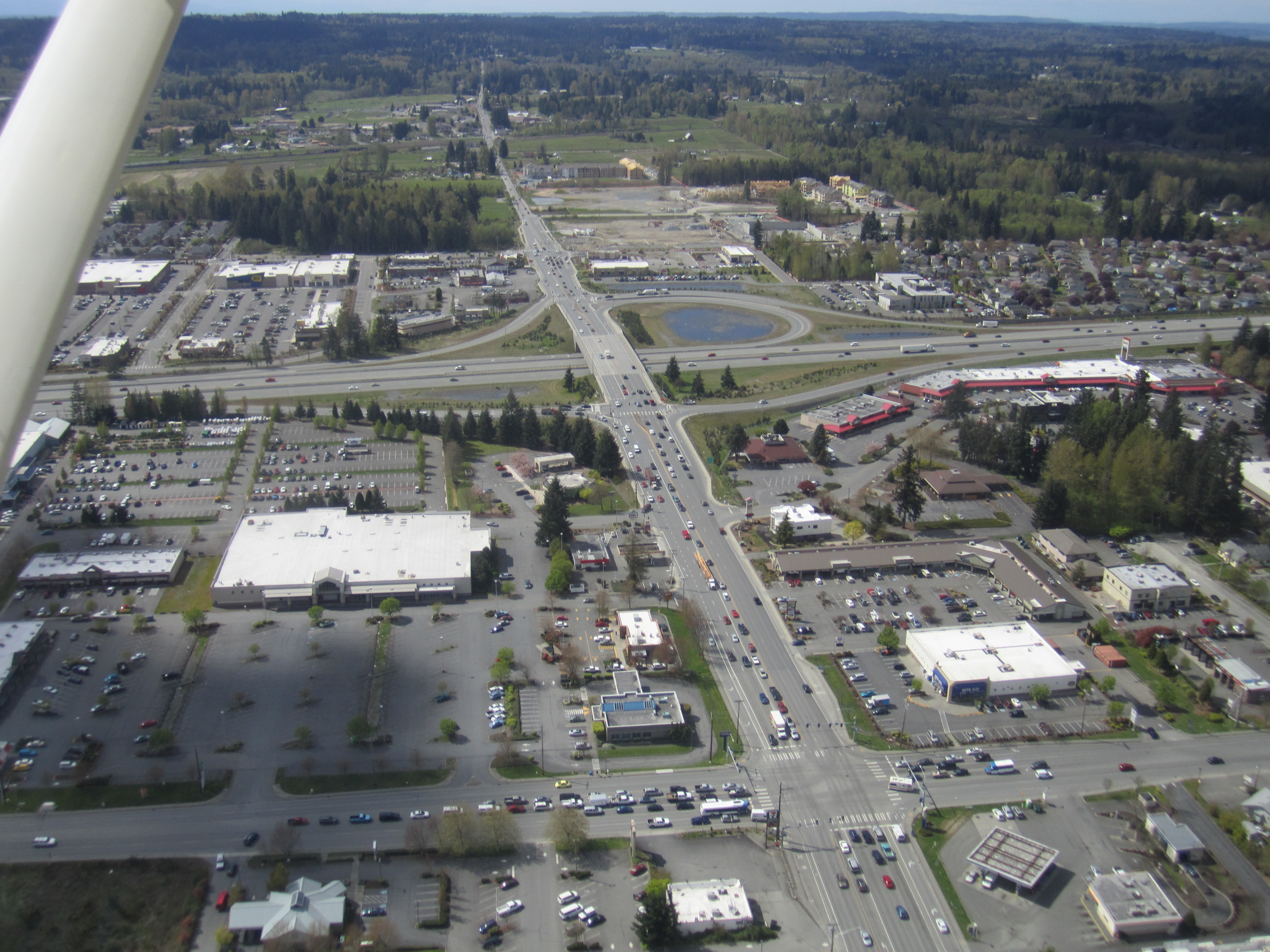
Description: Aerial view of Washington State Route 531 and Interstate 5 in Smokey Point, looking west from over Smokey Point Boulevard.
Title: Aerial view of 172nd Street NE (WA-531) in Smokey Point (16541316773)
Credit: Aerial view of 172nd Street NE (WA-531) in Smokey Point
Author: SounderBruce from Seattle, United States
Usage Terms: Creative Commons Attribution-Share Alike 2.0
License: CC BY-SA 2.0
License Link: https://creativecommons.org/licenses/by-sa/2.0
Attribution Required?: Yes
Image usage
The following page links to this image:

All content from Kiddle encyclopedia articles (including the article images and facts) can be freely used under Attribution-ShareAlike license, unless stated otherwise.
_in_Smokey_Point_(16541316773).jpg)