
Image: Air massif sat map south
No higher resolution available.
Air_massif_sat_map_south.png (338 × 426 pixels, file size: 107 KB, MIME type: image/png)
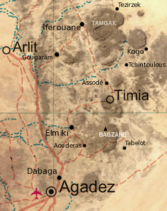
Description: Map of the southern half of the Air Massif, northern Niger. Created from an overlay of PD File:Un-niger.png and PD File:Niger_BMNG.png, plus map locations derived from fallingrain.com.
Title: Air massif sat map south
Credit: Niger_BMNG.png
Author: derivative work: T L Miles (talk) Niger_BMNG.png: US Gov/NASA (PD)
Usage Terms: Public domain
License: Public domain
Attribution Required?: No
Image usage
The following page links to this image:

All content from Kiddle encyclopedia articles (including the article images and facts) can be freely used under Attribution-ShareAlike license, unless stated otherwise.