
Image: Ancient monuments fort ancient map
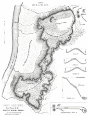
Size of this preview: 457 × 599 pixels. Other resolutions: 183 × 240 pixels | 1,000 × 1,311 pixels.
Original image (1,000 × 1,311 pixels, file size: 177 KB, MIME type: image/gif)
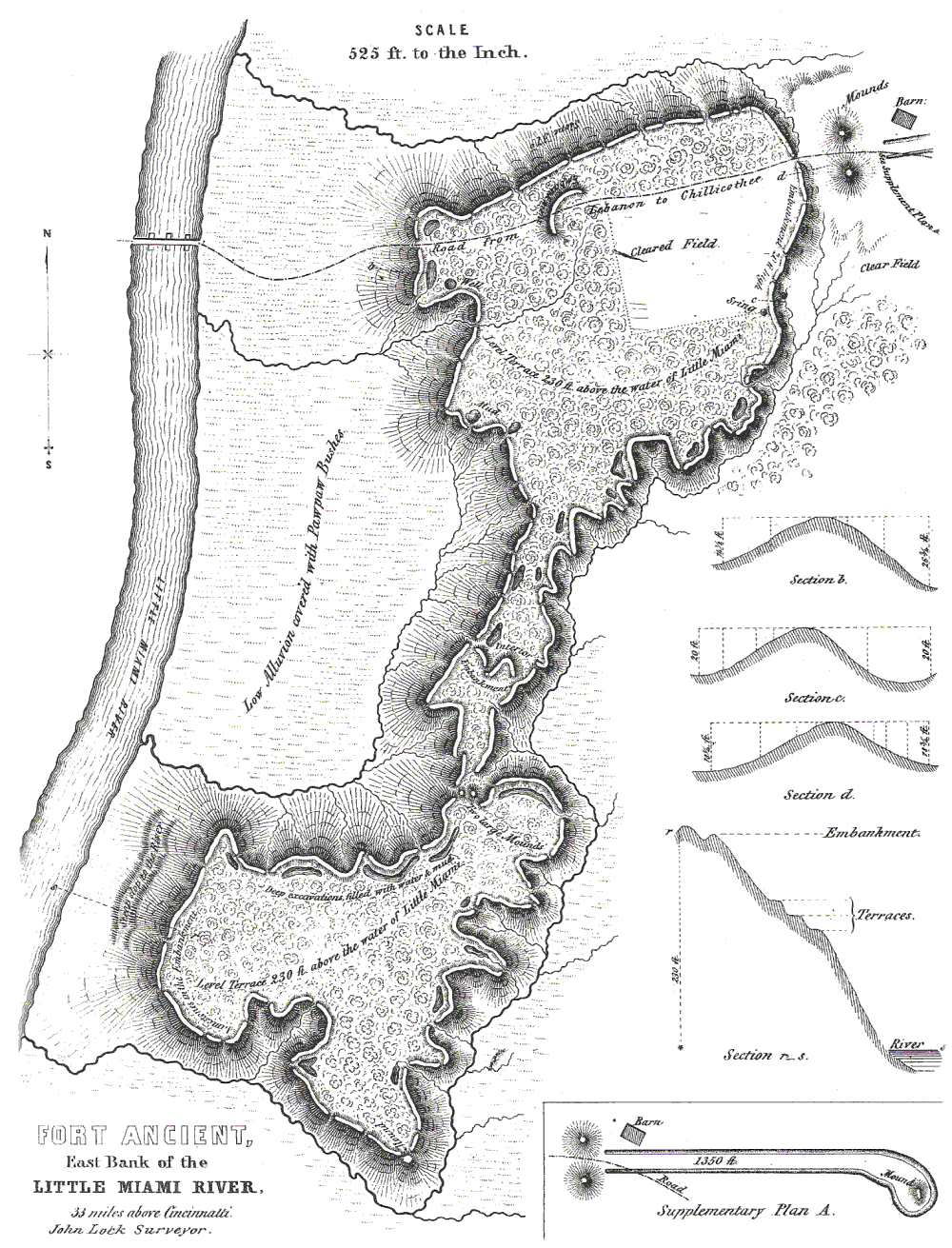
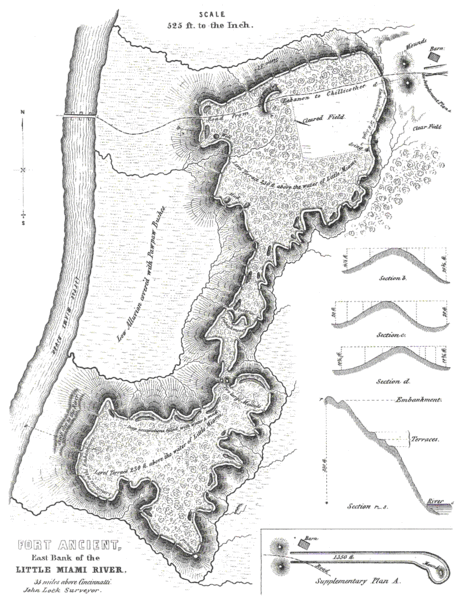
Description: Map of Fort Ancient, Warren County. Surveyed by John Lock, 1843. Published in Ancient Monuments of the Mississippi Valley, Ephraim G. Squier and Edwin H. Davis, 1848.
Title: Ancient monuments fort ancient map
Credit: see above
Author: see above
Usage Terms: Public domain
License: Public domain
Attribution Required?: No
Image usage
The following 5 pages link to this image:

All content from Kiddle encyclopedia articles (including the article images and facts) can be freely used under Attribution-ShareAlike license, unless stated otherwise.