
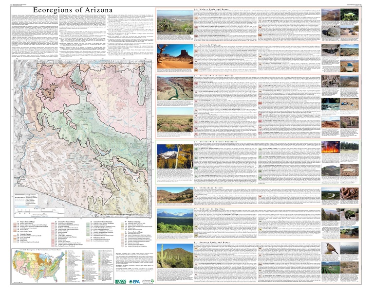
Image: Arizona Level IV ecoregions.pdf
Size of this JPG preview of this PDF file: 766 × 599 pixels. Other resolution: 307 × 240 pixels.
Original image (6,900 × 5,400 pixels, file size: 25.32 MB, MIME type: application/pdf)
Description: Map of Level III and Level IV ecoregions in the U.S. state of Arizona, as defined by the U.S. Environmental Protection Agency
Usage Terms: Public domain
Image usage
The following page links to this image:

All content from Kiddle encyclopedia articles (including the article images and facts) can be freely used under Attribution-ShareAlike license, unless stated otherwise.