
Image: Armada Way, Plymouth - geograph.org.uk - 83458
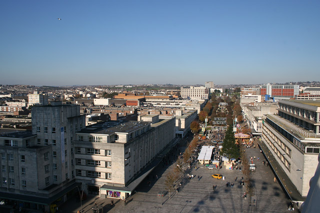
Description: Armada Way, Plymouth. Armada Way is the city centre's main thoroughfare. It stretches from Royal Parade to the North Cross Roundabout on the northern boundary of the square. Plymouth city centre underwent major rebuilding to a grid plan of wide streets and rectangular blocks of imposing shops and offices after the Second World War. Dingle's department store is on the right. This photograph was taken from the top of the large ferris wheel on Royal Parade.
Title: Armada Way, Plymouth - geograph.org.uk - 83458
Credit: From geograph.org.uk
Author: Kate Jewell
Usage Terms: Creative Commons Attribution-Share Alike 2.0
License: CC BY-SA 2.0
License Link: http://creativecommons.org/licenses/by-sa/2.0
Attribution Required?: Yes
Image usage
The following page links to this image:
