
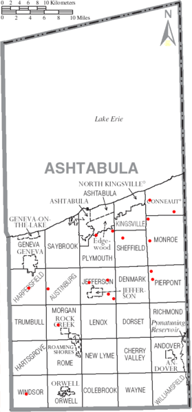
Image: Ashtabula County Ohio Existing Covered Bridges Dot Map

Size of this preview: 279 × 599 pixels. Other resolutions: 111 × 240 pixels | 547 × 1,175 pixels.
Original image (547 × 1,175 pixels, file size: 96 KB, MIME type: image/png)
Description: Creator: User:Homefryes Date: 17-Nov-2006
Title: Ashtabula County Ohio Existing Covered Bridges Dot Map
Credit: Own work
Author: Homefryes (talk) (Uploads)
Usage Terms: Attribution-ShareAlike 3.0
License: Cc-by-sa-3.0
License Link: https://creativecommons.org/licenses/by-sa/3.0/
Image usage
The following page links to this image:

All content from Kiddle encyclopedia articles (including the article images and facts) can be freely used under Attribution-ShareAlike license, unless stated otherwise.