
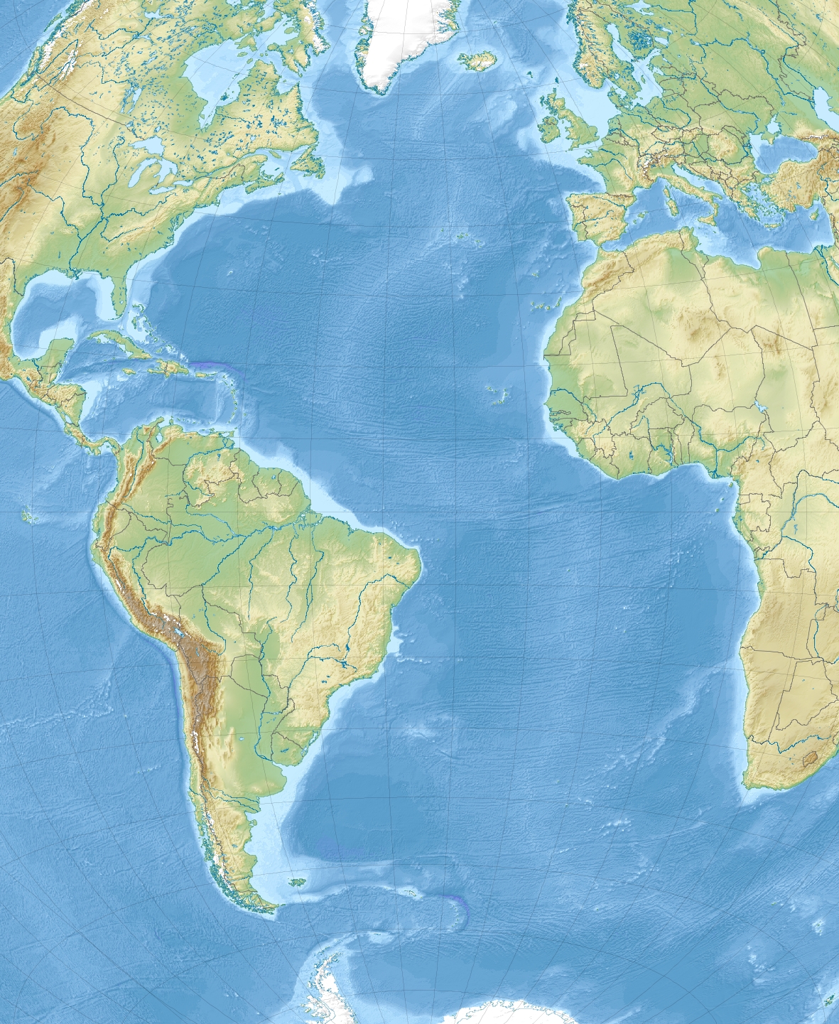
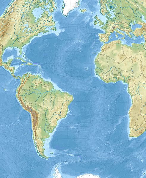
Image: Atlantic Ocean laea relief location map
Description: Relief location map of Atlantic_Ocean. Projection: Lambert azimuthal equal-area projection. Area of interest: N: 70.0° N S: -70.0° N W: -95.0° E E: 25.0° E Projection center: NS: 0.0° N WE: -35.0° E GMT projection: -JA-35.0/0.0/180/19.998266666666666c GMT region: -R-147.58842045747764/-48.58942183011819/77.58842045747762/48.589421830118205r GMT region for grdcut: -R-148.0/-76.0/78.0/76.0r Relief: SRTM30plus. Made with Natural Earth. Free vector and raster map data @ naturalearthdata.com.
Title: Atlantic Ocean laea relief location map
Credit: Own work
Author: Uwe Dedering
Usage Terms: Creative Commons Attribution-Share Alike 3.0
License: CC BY-SA 3.0
License Link: https://creativecommons.org/licenses/by-sa/3.0
Attribution Required?: Yes
Image usage
The following 2 pages link to this image:
