
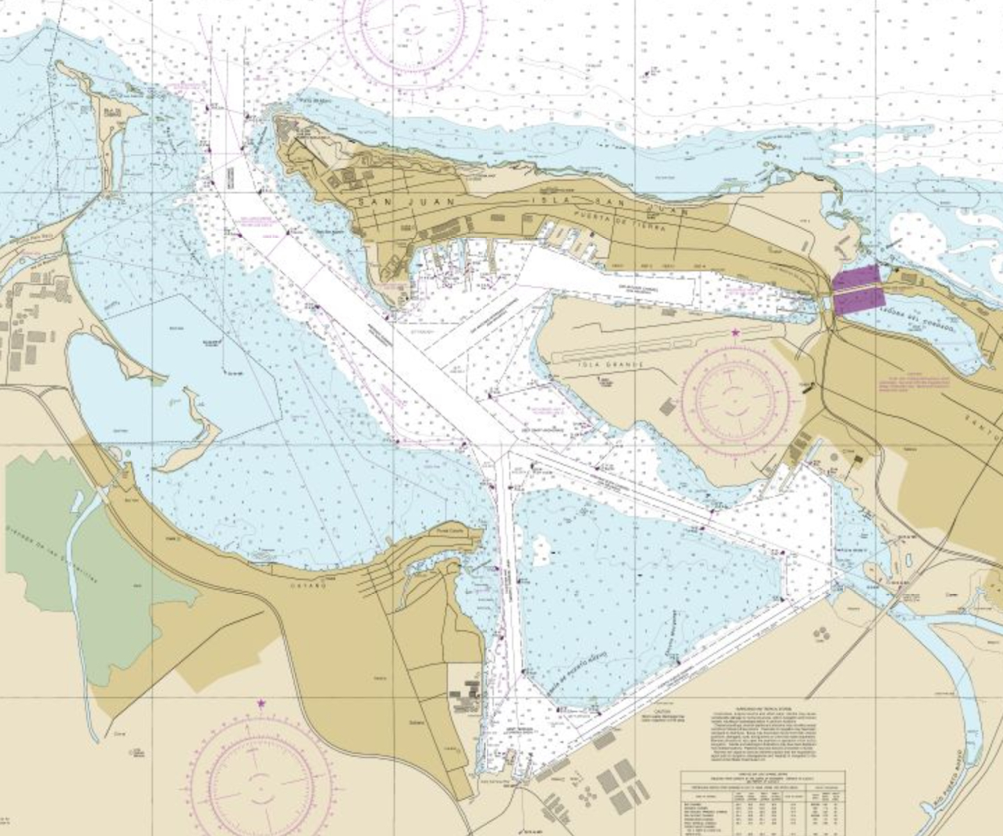
Image: Bahía de San Juan, NOAA Office of Coast Survey
Description: This is a screen shot of a map available for public usage at the US agency, National Oceanic and Atmospheric Administration, United States government. The shot was taken on December 11, 2015, for use in Wikipedia.
Title: Bahía de San Juan, NOAA Office of Coast Survey
Credit: This is a screen capture of the on-line viewable chart of the San Juan Bay available for public usage at NOAA : National Oceanic and Atmospheric Administration, United States government. The direct link to the map is: http://www.charts.noaa.gov/OnLineViewer/25670.shtml
Author: National Oceanic and Atmospheric Administration, United States government
Usage Terms: Public domain
License: Public domain
Attribution Required?: No
Image usage
The following page links to this image:
