
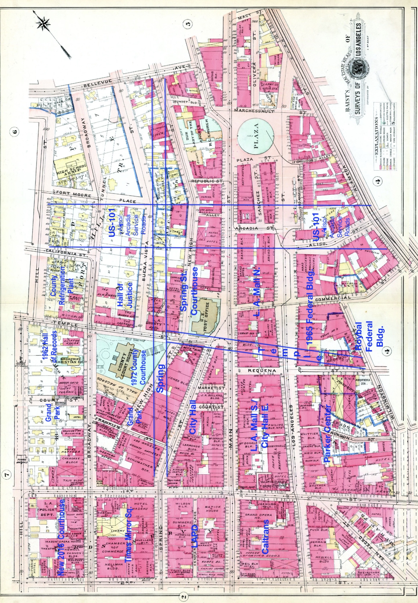
Image: Baist's 1910 Real Estate Map Plate 3 with some post-1920 street alignments shown
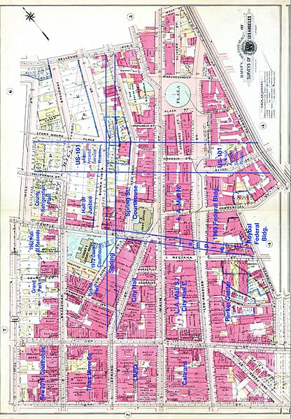
Size of this preview: 416 × 599 pixels. Other resolutions: 167 × 240 pixels | 1,439 × 2,072 pixels.
Original image (1,439 × 2,072 pixels, file size: 1.45 MB, MIME type: image/jpeg)
Description: Baist's 1910 Real Estate Map Plate 3 with some post-1920 street alignments shown
Title: Baist's 1910 Real Estate Map Plate 3 with some post-1920 street alignments shown
Credit: Baists Real estate maps via LOC
Author: Baist
Usage Terms: Public domain
License: Public domain
Attribution Required?: No
Image usage
The following page links to this image:

All content from Kiddle encyclopedia articles (including the article images and facts) can be freely used under Attribution-ShareAlike license, unless stated otherwise.