
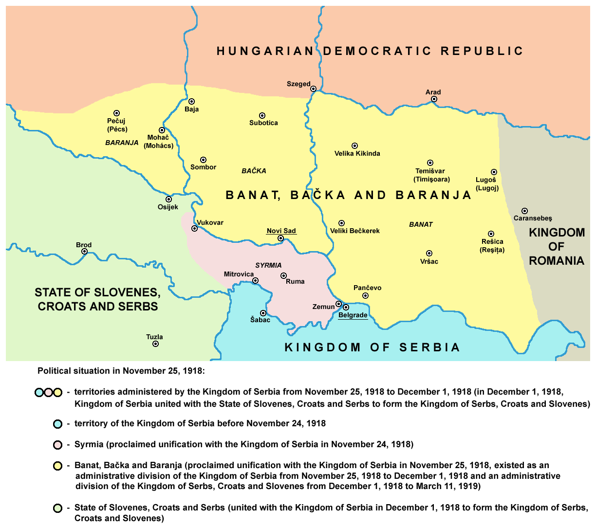
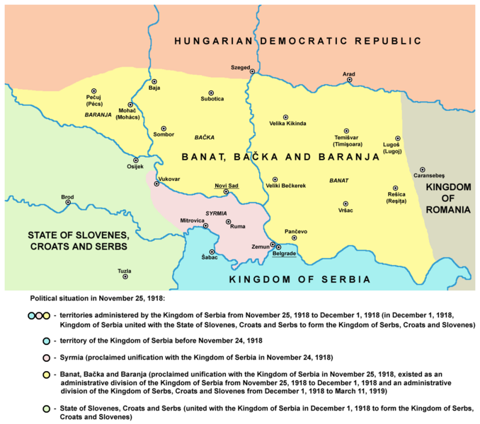
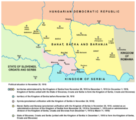
Image: Banat backa baranja 02 map
Size of this preview: 678 × 600 pixels. Other resolutions: 271 × 240 pixels | 1,224 × 1,083 pixels.
Original image (1,224 × 1,083 pixels, file size: 128 KB, MIME type: image/png)
Description: historical map of Banat, Bačka and Baranja, as well as Syrmia, in 1918
Title: Banat backa baranja 02 map
Credit: No machine-readable source provided. Own work assumed (based on copyright claims).
Author: No machine-readable author provided. PANONIAN assumed (based on copyright claims).
Usage Terms: Public domain
License: Public domain
Attribution Required?: No
Image usage

All content from Kiddle encyclopedia articles (including the article images and facts) can be freely used under Attribution-ShareAlike license, unless stated otherwise.