
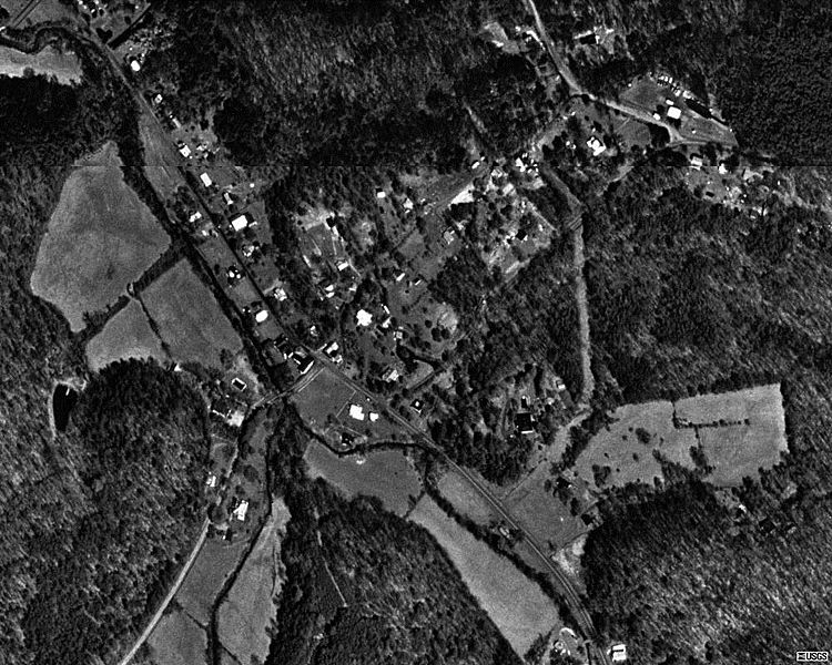
Image: Batesville, Virginia Aerial USGS

Size of this preview: 750 × 600 pixels. Other resolutions: 300 × 240 pixels | 1,000 × 800 pixels.
Original image (1,000 × 800 pixels, file size: 164 KB, MIME type: image/jpeg)
Description: Aerial Photo of the village of Batesville, Virginia.
Title: Batesville, Virginia Aerial USGS
Credit: USGS The National Map from Microsoft Research Maps.
Author: United States Geological Survey
Usage Terms: Public domain
License: Public domain
Attribution Required?: No
Image usage
The following page links to this image:

All content from Kiddle encyclopedia articles (including the article images and facts) can be freely used under Attribution-ShareAlike license, unless stated otherwise.