
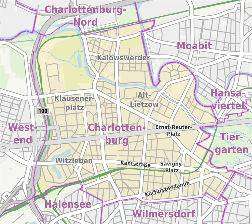
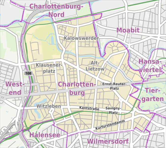
Image: Berlin-Charlottenburg Karte
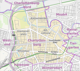
Size of this preview: 675 × 600 pixels. Other resolutions: 270 × 240 pixels | 832 × 739 pixels.
Original image (832 × 739 pixels, file size: 493 KB, MIME type: image/png)
Description: Übersichtskarte der Straßen und Ortslagen in Berlin-Charlottenburg
Title: Berlin-Charlottenburg Karte
Credit: own work, using Openstreetmap data
Author: Alexrk2
Permission: All OpenStreetMap data and maps are Creative Commons "CC-BY-SA 2.0" licensed
Usage Terms: Creative Commons Attribution-Share Alike 3.0
License: CC BY-SA 3.0
License Link: http://creativecommons.org/licenses/by-sa/3.0
Attribution Required?: Yes
Image usage
The following page links to this image:

All content from Kiddle encyclopedia articles (including the article images and facts) can be freely used under Attribution-ShareAlike license, unless stated otherwise.