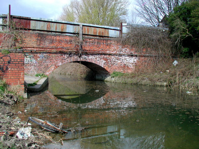
Image: Beverley and Barmston Drain, Sculcoates - geograph.org.uk - 1231380
Description: Beverley & Barmston Drain, Sculcoates, Hull, East Riding of Yorkshire, England. Road bridge across the Beverley & Barmston Drain at the eastern end of Stepney Lane, Hull. The bridge leads to builder's yards on the east side of the drain. Hull used to have a lot of open drains like this one, channelling waste water and sewage into the River Humber from the vast flood plain of the River Hull which stretches north as far as Kirkburn near Driffield. http://www.geograph.org.uk/photo/784479 In the late 1950s Hull's sewerage and pumping infrastructure was modernized and many open watercourses were filled in or replaced with sewer pipes in the name of child safety, but since these developments and further updating in the year 2000 the flood risk in Hull has risen quite dramatically and the city was badly hit by flooding in June 2007.
Title: Beverley and Barmston Drain, Sculcoates - geograph.org.uk - 1231380
Credit: From geograph.org.uk
Author: Paul Glazzard
Permission: Creative Commons Attribution Share-alike license 2.0
Usage Terms: Creative Commons Attribution-Share Alike 2.0
License: CC BY-SA 2.0
License Link: http://creativecommons.org/licenses/by-sa/2.0
Attribution Required?: Yes
Image usage
The following page links to this image:


