
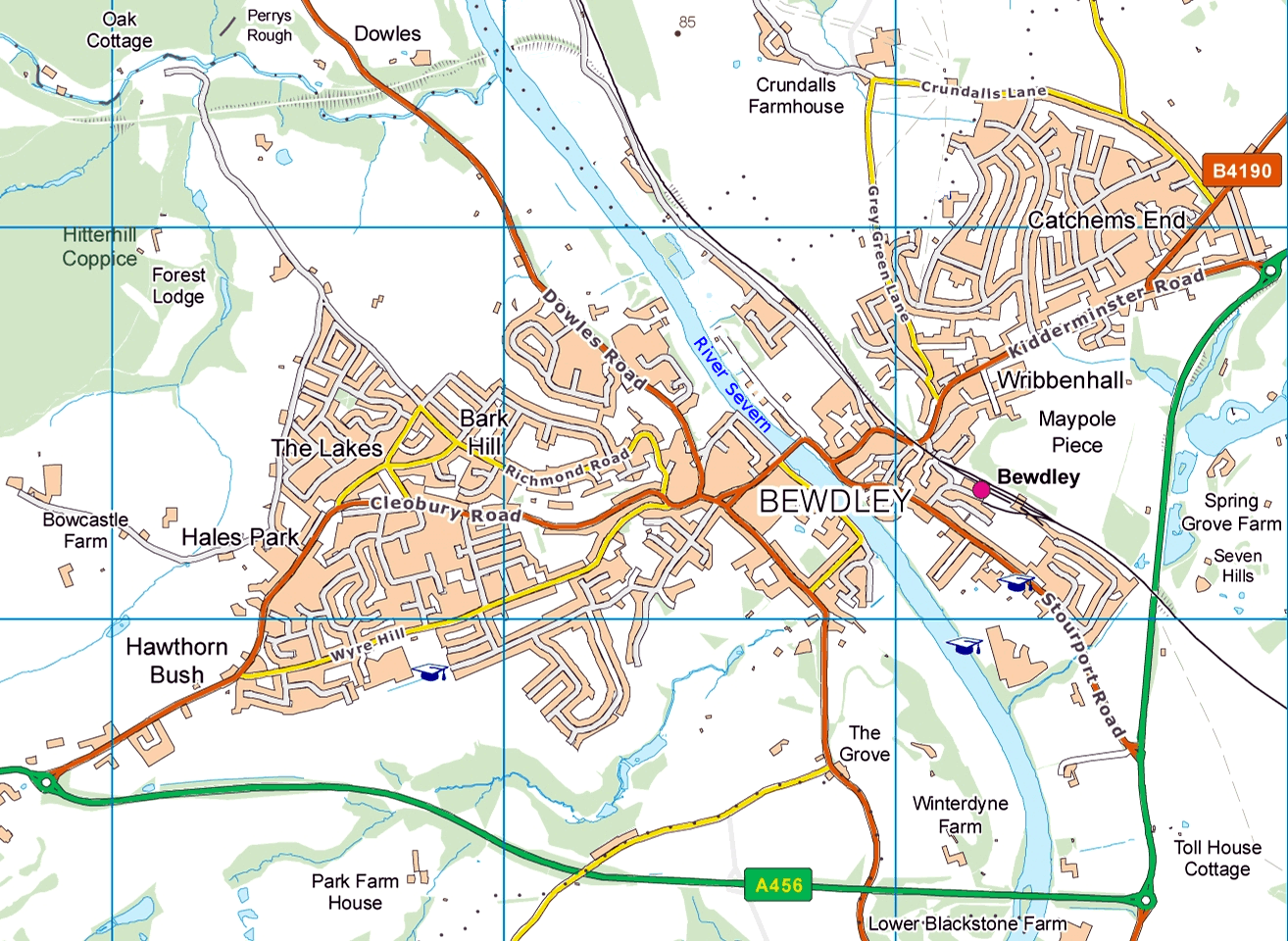
Image: Bewdley and surroundings OS Vector Map District raster
Size of this preview: 800 × 584 pixels. Other resolutions: 320 × 234 pixels | 1,314 × 960 pixels.
Original image (1,314 × 960 pixels, file size: 1.24 MB, MIME type: image/png)
Description: Map of Bewdley and surrounding area from Ordnance Survey VectorMap District (raster) mapping. One grid square = 1 square kilometre.
Title: Bewdley and surroundings OS Vector Map District raster
Credit: OS OpenData
Author: Ordnance Survey
Permission: OS OpenData Licence. Required attribution: Contains Ordnance Survey data © Crown copyright and database right 2010
Usage Terms: Creative Commons Attribution 3.0
License: CC BY 3.0
License Link: http://creativecommons.org/licenses/by/3.0
Attribution Required?: Yes
Image usage
The following page links to this image:

All content from Kiddle encyclopedia articles (including the article images and facts) can be freely used under Attribution-ShareAlike license, unless stated otherwise.