
Image: Birmingham-Hoover-Cullman, Alabama Combined Statistical Area

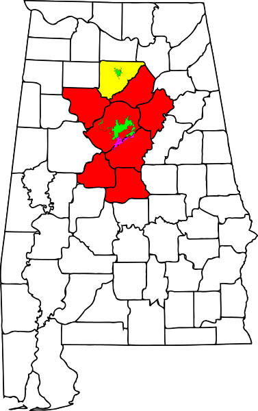
Description: Map showing the Birmingham-Hoover-Cullman, Alabama, Combined Statistical Area Birmingham-HooverMetropolitan Statistical Area Cullman Micropolitan Statistical Area
Title: Birmingham-Hoover-Cullman, Alabama Combined Statistical Area
Credit: self made; based on File:Montgomery County Alabama Incorporated and Unincorporated areas Montgomery Highlighted.svg (main map), File:Jefferson County Alabama Incorporated and Unincorporated areas Birmingham Highlighted.svg, and File:Cullman County Alabama Incorporated and Unincorporated areas Cullman Highlighted.svg; all by User:Shereth
Author: Chris Pruitt
Permission: This file is licensed under the Creative Commons Attribution-Share Alike 3.0 Unported license. You are free: to share – to copy, distribute and transmit the work to remix – to adapt the work Under the following conditions: attribution – You must attribute the work in the manner specified by the author or licensor (but not in any way that suggests that they endorse you or your use of the work). share alike – If you alter, transform, or build upon this work, you may distribute the resulting work only under the same or similar license to this one. http://creativecommons.org/licenses/by-sa/3.0 CC BY-SA 3.0 Creative Commons Attribution-Share Alike 3.0 truetrue
Usage Terms: Creative Commons Attribution-Share Alike 3.0
License: CC BY-SA 3.0
License Link: http://creativecommons.org/licenses/by-sa/3.0
Attribution Required?: Yes
Image usage
The following page links to this image:
