
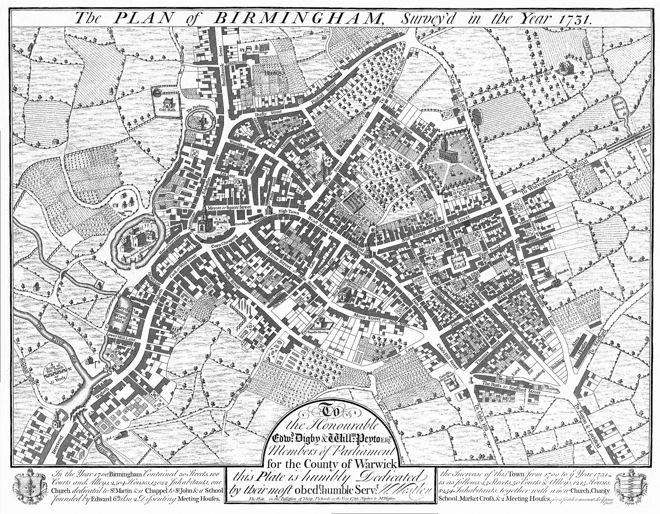
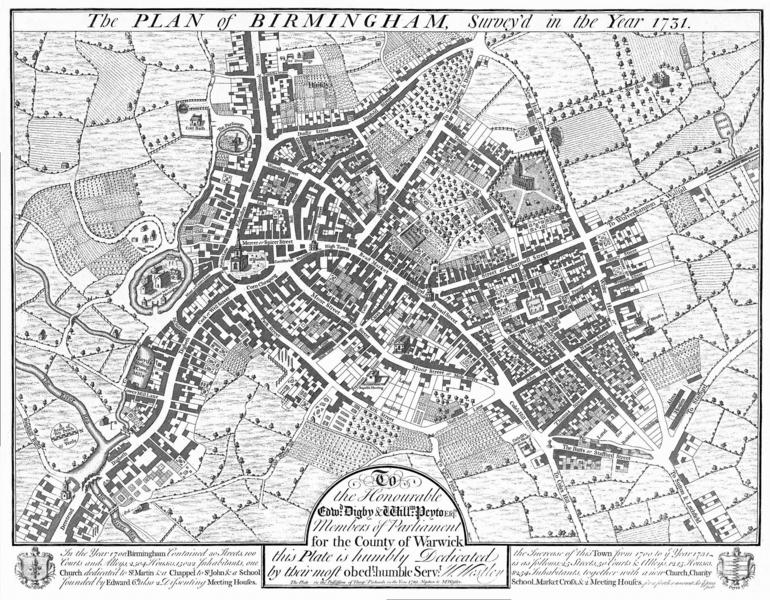
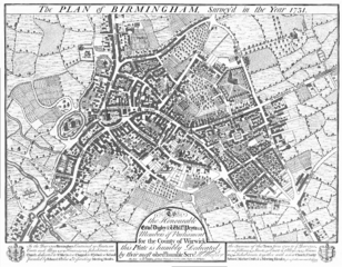
Image: Birmingham - Westley Map 1731
Size of this preview: 770 × 600 pixels. Other resolutions: 308 × 240 pixels | 2,229 × 1,736 pixels.
Original image (2,229 × 1,736 pixels, file size: 4.61 MB, MIME type: image/png)
Description: 1731 map of Birmingham by William Westley. The top of the map is orientated westwards. Source
Title: Birmingham - Westley Map 1731
Credit: Source
Author: William Westley
Usage Terms: Public domain
License: Public domain
Attribution Required?: No
Image usage
The following page links to this image:

All content from Kiddle encyclopedia articles (including the article images and facts) can be freely used under Attribution-ShareAlike license, unless stated otherwise.