
Image: Black Hawk path
Size of this preview: 564 × 599 pixels. Other resolutions: 226 × 240 pixels | 706 × 750 pixels.
Original image (706 × 750 pixels, file size: 54 KB, MIME type: image/png)
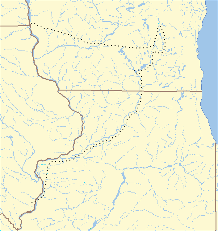
Description: Black Hawk's path during the Black Hawk War (1832), showing parts of Illinois, Wisconsin, Iowa, and Illinois.
Author: Ruhrfisch at English Wikipedia
Usage Terms: Creative Commons Attribution-Share Alike 3.0
License: CC-BY-SA-3.0
License Link: http://creativecommons.org/licenses/by-sa/3.0/
Attribution Required?: Yes
Image usage
The following 19 pages link to this image:
- Apple River Fort
- Attack at Ament's Cabin
- Attacks at Fort Blue Mounds
- Battle of Apple River Fort
- Battle of Bad Axe
- Battle of Horseshoe Bend (1832)
- Battle of Kellogg's Grove
- Battle of Stillman's Run
- Battle of Waddams Grove
- Battle of Wisconsin Heights
- Buffalo Grove ambush
- History of Wisconsin
- Indian Creek massacre
- Michigan Territory Militia
- Plum River raid
- Sinsinawa Mound raid
- Spafford Farm massacre
- St. Vrain massacre
- Template:Black Hawk War Map

All content from Kiddle encyclopedia articles (including the article images and facts) can be freely used under Attribution-ShareAlike license, unless stated otherwise.