
Image: BlankMap-World-162E

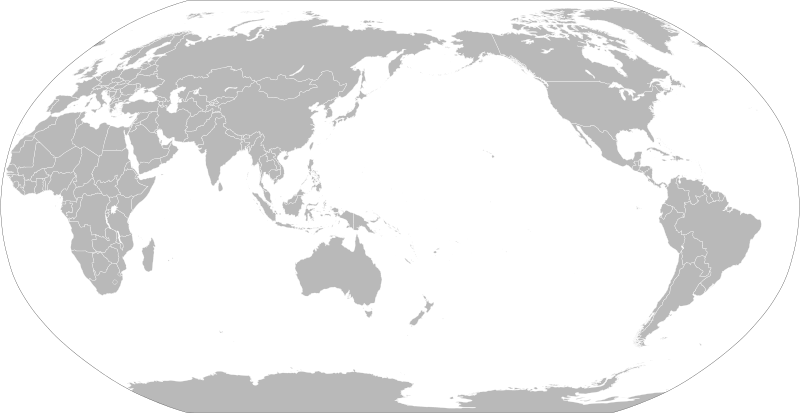
Description: A political map of the world centered at the 162E longitude line. Detailed SVG map with grouping enabled to connect all non-contiguous parts of a country's territory for easy colouring. Smaller countries can also be represented by larger circles to show their data easier. A thorough description of use and other instructions relating to can be found on the instruction page
Title: BlankMap-World-162E
Credit: Based on File:BlankMap-World.svg and rotated using the pythonscript available at http://gsl-nagoya-u.net/appendix/software/worldmap/
Author: Lokal_Profil
Permission: The map data manipulated by the script is in the public domain. The raw output of the script, including the file shown here, is also in the public domain. Public domainPublic domainfalsefalse I, the copyright holder of this work, release this work into the public domain. This applies worldwide. In some countries this may not be legally possible; if so: I grant anyone the right to use this work for any purpose, without any conditions, unless such conditions are required by law.
Usage Terms: Public domain
License: Public domain
Attribution Required?: No
Image usage
The following page links to this image:
