
Image: BlueBellHill0005

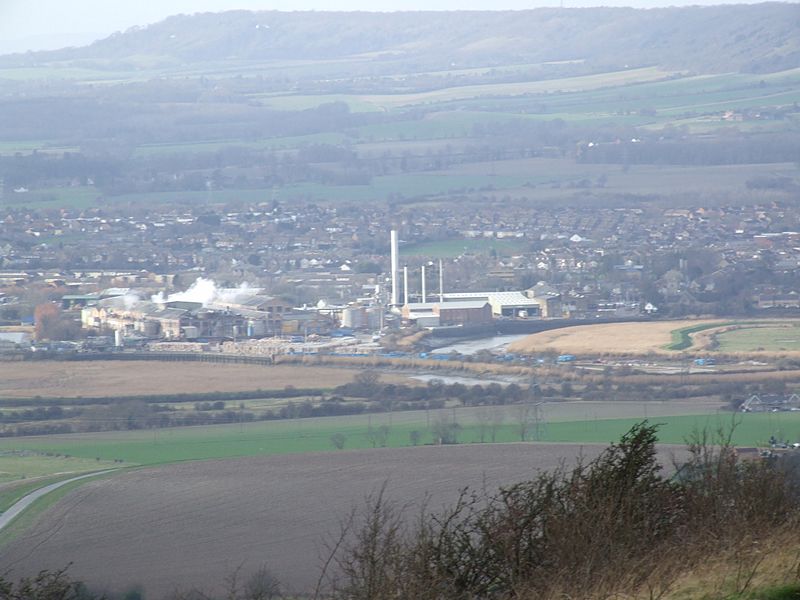
Description: Blue Bell Hill Picnic site on the North Downs in Kent gives a view over the Medway Gap Snodland, the Horseshoe reach meander of River Medway and the paper mills in front, and the North Downs on the other side of the gap at Trottiscliffe. Camera location 51° 19′ 54.48″ N, 0° 30′ 01.08″ E View this and other nearby images on: OpenStreetMap - Google Earth 51.331800; 0.500300
Title: BlueBellHill0005
Credit: Own work
Author: Clem Rutter, Rochester Kent
Permission: Own work, copyleft: Multi-license with GFDL and Creative Commons CC-BY-SA-2.5 and older versions (2.0 and 1.0)
Usage Terms: Creative Commons Attribution-Share Alike 3.0
License: CC-BY-SA-3.0
License Link: http://creativecommons.org/licenses/by-sa/3.0/
Attribution Required?: Yes
Image usage
The following page links to this image:
